



Důlní revír Knötel Ruin
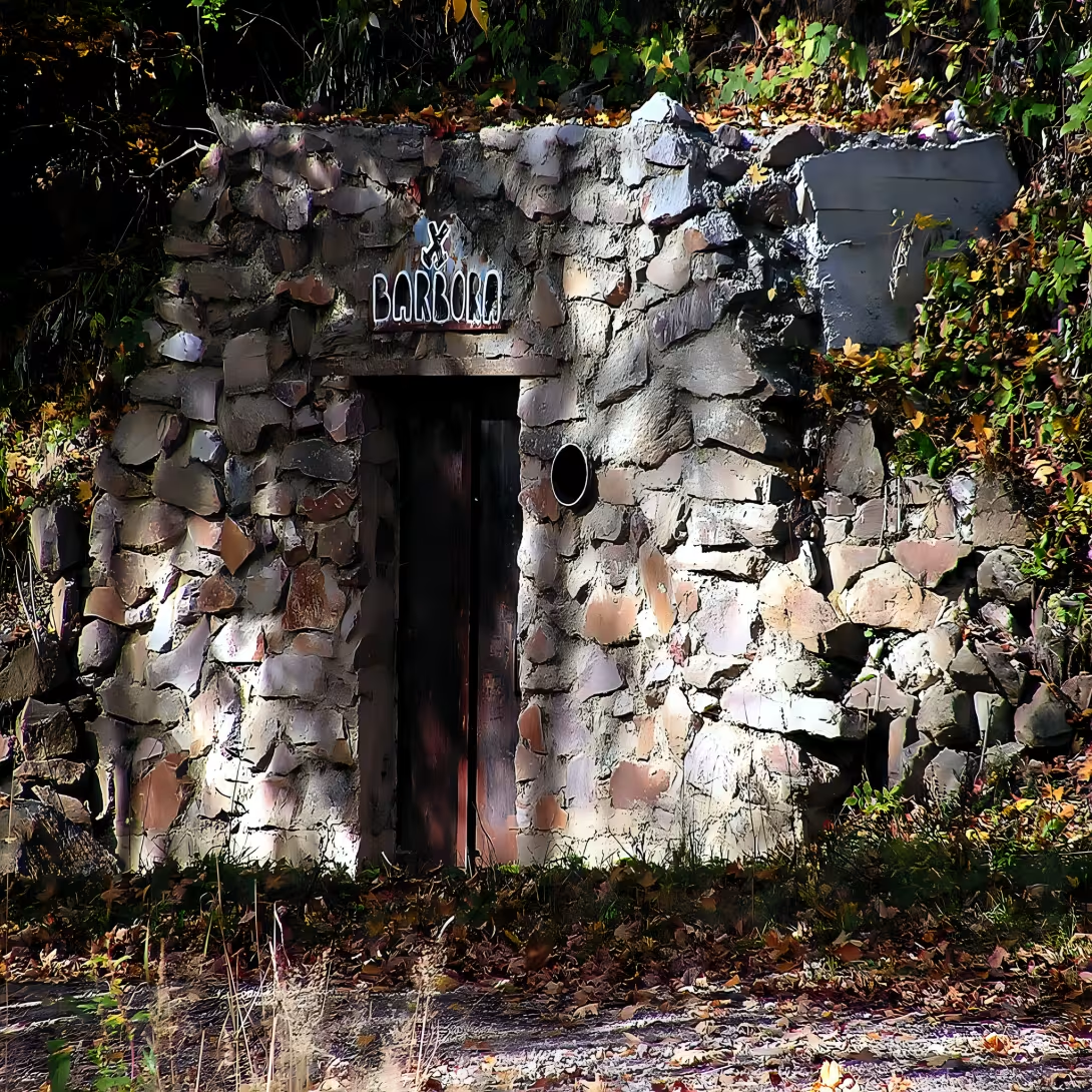
The Důlní revír Knötel is situated in the Erzgebirge mountains north of Krupka, in the vicinity of the cableway road leading to Komáří horky. It lies in the cadastral territory of Horní Krupka in the district of Teplice and in the past represented the largest mining area of the entire region of Krupec mining. Since 2013, the area and several mining works have been protected as a cultural monument.
Mining has a very long history here. Since the fourteenth century, tin, bound to the greisen veins, was mainly found in the region of добí. In the early days of mining there were also exceptional silverware veins of galenite. From the 14th to the nineteenth century it was exposed to a network of tens of small mines, whose depth rarely exceeded 50 meters. Their presence is revealed primarily by the outbursts and burnished estuary, which are kept in the field today.
From individual historical mines we remember names such as Jacobs Fahrt, Siebenschläfer and Juda, dating from the seventeenth to nineteenth centuries. Especially interesting is the Zwickenping - a 16th-century relic of 50 × 35 meters, which was excavated by Gewelbter. Near there is a 130-metre-long surface quarry on Mahler's vein. The sights include the mine Regina, which in 1813 visited Johann Wolfgang von Goethe.
The mining was restored in the region during World War II, when the range was extended by molybdenite and potassium feldspar. The new operation was based on four stalls: Prokop, Barbora, Václav and Evening Star. The Prokop Hole was connected to the Barboro Hole and served as a survey of the quartz-molybdenum. Wenceslas Stol, deep in 1948, was intended to penetrate deeper parts of the bearing and allowed mining of tin, molybdenum, tungsten and lithium. The Hall of the Evening Star, the historical hall of the once again opened in 1913-1914, then in 1928 and 1948, had been renewed in the 1950s. First they called it Václav II and Hope, but later they changed the name to Evening Star. It was operational until 1953. The total operation of these stalls lasted until 1956.
Today, the region is a valuable place for mineralists and geologists. The old mines' drafts are one of the sought-after mineralogical locations where more rare minerals can be found. Protected status ensures that future generations can see this unique combination of medieval and modern mining activity, which has been taking turns for over six centuries. / p >
Then and now
Drag the slider to compare how the landmark may have looked when it was built with the view today.
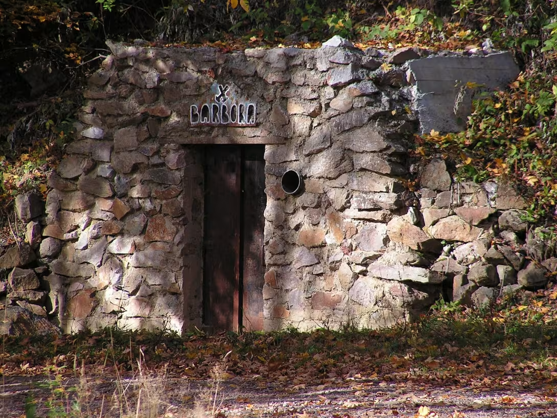

The historical appearance on the left is an AI-generated visualisation and serves as inspiration only.
Historical milestones
- 14th Century
- The start of mining mainly tin in the region
- 16th Century
- The emergence of the Zwickenping abyss
- 17. to 19th century
- Operation of mining courses such as Jacobs Fahrt, Siebenschläfer or Judah
- 1813
- A visit to the Regina Johann Wolfgang von Goethe mine
- 1913-1914
- Experimental re-opening of the historical stalls Evening Star
- 2013
- The area and several mining works gained protection as a cultural monument
Historical events
- 14th Century
- The beginning of tin mining in the region.
- 1813
- He visited the Regina Johann Wolfgang von Goethe mine.
- 1956
- Termination of mining activity in modern times.
Points of interest
- Důlní revír Knötel is protected as a cultural monument since 2013.
- Tin mining here has a history dating back to the 14th century, with exceptional silver-nosed veins of galenite in early times.
- Historical mines include Jacobs Fahrt, Siebenschläfer and Jude from the seventeenth to nineteenth centuries.
- Zwickenping is a 16th-century relic of 50 × 35 meters, excavated by Gewelbter.
- The Regina mine was visited by Johann Wolfgang von Goeth in 1813.
Guide
This guide is narrated by a synthetic voice generated by artificial intelligence.
Show guide text
This text was created by artificial intelligence and has not been editorially reviewed. It may contain inaccuracies.
The Knötel mining district is a former mining area in the Krušné Mountains, north of Krupka in the Teplice region. It extends around the cable car to Komáří hůrka, in the cadastral territory of Horní Krupka. It was once the most extensive mining district in the entire Krupka area. From the fourteenth century, tin was mined here mainly, and later also molybdenite and potash feldspar. The waste heaps of old mines are today sought after by mineral collectors. Since 2013, the mining district area together with several mine workings has been protected as a cultural monument.
Tin deposits here are bound mainly to sheets of greisen veins embedded in granite's slate mantle. Occasionally, silver-bearing galena veins appeared. From the fourteenth to the nineteenth century, dozens of small mines worked them. They were at most thirty to fifty meters deep and they left mainly waste heaps and sunken mine entrances in the landscape. From the seventeenth to the nineteenth century we know, for example, the Jacobs Fahrt mine, the Siebenschläfer adit, or in Czech the Adit of Seven Sleepers, further the Juda adit or the Alt Ignazi shaft. From the final phase of mining, when adits were longer and shafts deeper, come the waste heaps called Glück auf, Vendelin, Alter Abendstern and Josef. The Regina mine was visited in 1813 by Johann Wolfgang von Goethe.
Among the oldest remains of mining belongs the Zwickenpinge subsidence, originally perhaps Zwitterpinge, near the modern Barbora adit. It originated in the sixteenth century and measures fifty by thirty-five meters. The Gewelbter adit ran beneath it. About a hundred meters to the west lies a surface mining pit one hundred thirty meters long on the Mahler vein.
During the Second World War, mining resumed and molybdenite and potash feldspar were added to tin. The deposit was worked by four adits: Prokop, Barbora, Václav and Večerní hvězda. Mining ended in 1956. The Prokop adit was connected with Barbora and served mainly for prospecting the quartz-molybdenite stock above it. Barbora is connected with the Václav adit by a steep decline. It enabled manual mining of potash feldspar above and below the adit level and ores of molybdenum, tin, tungsten and lithium were also mined there. The Václav adit from 1948 was created to explore deeper parts of the deposit.
Večerní hvězda belonged to the historic mines. They experimentally reopened it in the years 1913 to 1914, in 1928 and in 1948. In the nineteen fifties they dug a new one beneath the entrance of the old adit. Originally it bore the names Václav II and Naděje, later it was renamed Večerní hvězda. It remained in operation until 1953.
Tips for visitors
The best time to visit is during the bright hours of the day when the best visibility is in the Krušné Mountains for the observation of geological formations. Due to the position, it is advisable to count on variable weather.
The location can be reached either by car or by public transport.
We recommend that you take with you fixed shoes suitable for uneven terrain and laminated clothing, as it can be colder near historical mining sites. For better orientation, it is advisable to carry a lamp.
For lovers of photography are the best moments with diffuse light that highlight the texture of rocks and minerals as tin or molybdenite.
For families with children, this area represents an interesting opportunity to learn the history of mining and geology, which can be a very instructive lesson for young visitors in the field.
Frequently asked questions
Can the monument be visited?
This is a ruin. Such sites are often freely accessible, but some can only be visited with a guide or are closed for safety reasons. We have not verified the current situation – take care and respect any restrictions.
Where is the monument?
Location: Horní Krupka, Ústecký kraj. The map on this page shows the exact spot.
Why is the monument protected?
It is listed in the Central List of Cultural Monuments of the Czech Republic as a cultural monument (register no. 105106).
For kids
Imagine going back to when this place was a full-fledged mining area. It was a great time when people were looking for gold and silver in deep mines. They had big wooden buildings where miners and craftsmen worked.
It was like in a story game because life in the mines was full of danger. Miners had to be very brave and brave to get to rich metal deposits. And when they found them, they had to dig them out of deep pits.
Businesses nearby
Do you run a restaurant, accommodation, shop, museum, rental, wellness or other visitor service near this monument? Show yourself directly to the people heading to it — this is how they will see you in the app and on the web:
Nearby
ITEX Show interactive overview of the surroundings - restaurants, accommodation, rentals and other places within a 15 km radius.
Data: OpenStreetMap contributors, 15 km radius.
‡ Historical monuments
- Old Martin (1.6 km)
- Memorial 313 to death victims (2.6 km)
- memorial to victims of death march (3.1 km)
- Memorial to former neighbors in ČSR (3.9 km)
- Prussian memorial 1813 (6.4 km)
- Regional Museum in Teplice (7.0 km)
- Anton Günther Gedenkstein (7.8 km)
- Memorial (7.9 km)
Restaurant and catering
- Pizzeria bar Týna (1.3 km)
- Dubín (7.0 km)
- U Green Tree, Telnice (7.7 km)
- McDonald's (8.0 km)
- Lugsteinbaude (9.5 km - Hochmoorweg 28)
- Pension U Johnso (9.5 km)
- Bergbaude Geisingberg (10.9 km - Geisingberg 1)
- Stadtcafe Altenberg (10.9 km - Platz des Bergmanns 1)
Accommodation
- Hotel Horal (1.3 km)
- Ferienwohnung Kubis (8.2 km - Rosengrund 8)
- Grumbtmühle (8.2 km - Rosengrund 13)
- Bergbaude Lug ins Land (9.4 km - Neugeorgenfeld 23)
- Beerenvilla (9.5 km - Neugeorgenfeld 25)
- Hotel Lugsteinhof (9.6 km - Neugeorgenfeld 36)
- Ferienwohnung Fleisker (10.5 km - Schloßstraße 1)
- Accommodation Stará (11.6 km - Stará 1295 / 64)
› Rental and sports
- Sport Vision (3.5 km)
- FITNESS shop (3.6 km)
- D-Sport (3.6 km)
- Killtec (3.6 km)
- Sportisimo (3.6 km)
- Flat track - moto club Chabarovice (5.3 km)
- Regal Bike (5.3 km)
- Alpin sport (6.2 km)
© Tourism and nature
- Fox Top (0.8 km)
- Komaria (1.6 km)
- Traugotthöhe (5.3 km)
- Sandy top (6.5 km)
- Kohlhaukuppe (7.7 km)
- Fuchshübel (8.3 km)
- Scharspitze (9.3 km)
- Kleiner Lugstein (9.4 km)
Accommodation nearby
Trips and activities nearby
Guided tours, tickets and activities nearby from GetYourGuide
Affiliate link: if you buy from the partner, we may receive a commission. The price for you does not change.
Search tours and activities →Themed route
Thematic cruise route: Důlní revír Knötel and the surroundings of Horní Krupka
1.Důlní revír Knötel - Type: Historical heritage - Why is it worth visiting: This mining complex is one of the most important industrial monuments in the Czech Republic. Visit the historical exhibition, which represents the life and work of miners in the 19th and 20th centuries. It's a great way to learn more about the history of coal mining.
2. Mining station Horní Krupka - Type: Historical building - Why is it worth a visit: This railway station was an important transport industry for mining industry in the area. Its architecture and history reflect the time when Horní Krupka became a coal mining centre. It is an ideal place to understand the transport infrastructure associated with the mining industry.
3. Memorial to Mining Victims - Type: Memorial - Why is it worth a visit: This monument is dedicated to the memory of thousands of miners who worked here and sacrificed their lives. It is a place for respect and memory of hard work and the risks associated with mining.
4. Mining Park - Type: Park - Why is it worth a visit: This park offers quiet areas to relax after exploring historical places. It is an ideal place for short walks and relaxation while enjoying the natural beauty of the surrounding area.
This route will allow you to learn the history of mining in Upper Krupa and appreciate its cultural heritage.
Seasonal recommendations
Spring brings freshness and awakening nature to the region, which gradually covers the historical remains of greenery. Light is soft and pleasant in this period for observing details of mining architecture. We recommend you take layered clothes because morning temperatures can still be low, and prepare for any mud on the trail. The best place to visit is in the morning when the air is the cleanest.
In the summer months there is radiant heat and surrounding vegetation is in full bloom, creating contrast to the technical character of the monument. Due to the high summer season and higher temperatures, it is most sensible to arrive early in the morning to avoid the greatest heat and sudden crowds of people. Don't forget enough fluids, sun protection and comfortable shoes suitable for uneven terrain.
The autumn season is the most atmospheric in this area thanks to morning fog and golden finding of leaves in the surrounding forests. This melancholy mood perfectly complements the history of mining. For safe movement, we recommend a waterproof jacket and boots with fixed soles to protect you from moisture. The perfect time to photograph and observe colors is in the morning when the sun begins to shine through the fog.
Winter turns the region into a quiet and freezing landscape where snow and frost create a raw but fascinating look. Due to a very short day it is necessary to plan a visit to use the maximum amount of light. Dress very warm and do not forget the quality supplements against cold. Be careful in slippery places and count on the fact that the movement in the field can be more difficult in the cold.
Visualizations and artistic views


The visualisations are generated by artificial intelligence and serve as inspiration.
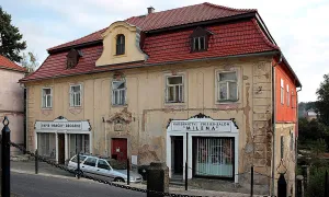
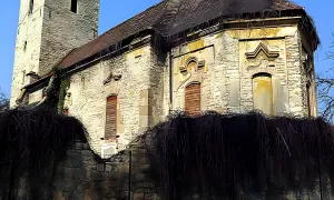
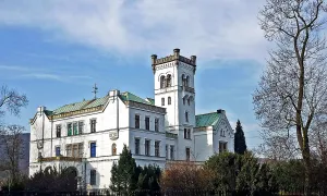
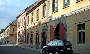
Photos from the area
Real photos taken near the monument

Zdroj a licence jsou uvedeny u každého snímku.
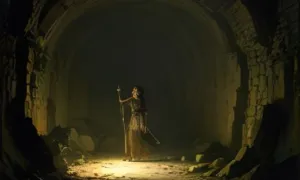
Atmosphere of the place
This atmospheric visualisation of the place and period was generated by artificial intelligence. It is not real footage of the location.
Tips from visitors
No tips yet. Be the first!
Log in and add your tip.
Sources and literature
Photos: MAKY.OREL / CC BY-SA 3.0, rozlišení zvýšeno umělou inteligencí — Wikimedia Commons. The author and licence also appear when you hover over the image.
Faktickým podkladem tohoto textu byl článek na Wikipedii, jehož autory jsou přispěvatelé Wikipedie. Článek je dostupný pod licencí CC BY-SA 4.0.
Location on the map
Příběhy a pověsti
Legendy, pověsti a příběhy spjaté s touto památkou
Fotografie návštěvníků
Zatím žádné fotografie. Buďte první, kdo přidá fotografii z návštěvy!
Log in a přidejte svou fotografii nebo hodnoťte.
Za ověřenou návštěvu v aplikaci získáte víc bodů — poznáme podle GPS, že jste na místě.
Reviews and comments