


Dlouhá strouha Water channel
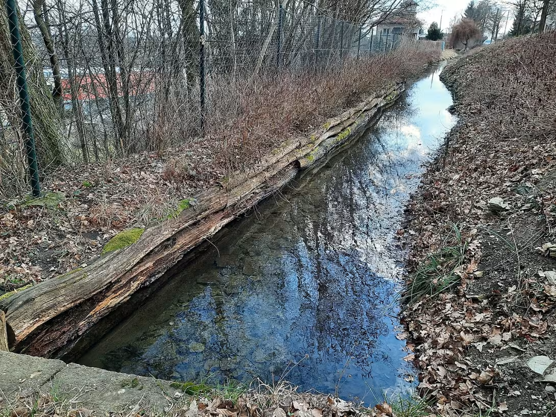
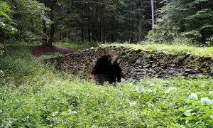
Dlouhá strouha is an eight-kilometer artificial water channel from the turn of the 15th and 16th centuries. Located in the district of Rychnov nad Kněžnou in the Králové Hradec region. This work brings water from the river Belé to the system of Cernikovic ponds. Historically, it was used to power ponds and drive mills and mills.
The channel was created at the time of development of pond and water management in Czech countries. This process has significantly affected the activities of families such as Pernstejns. It is therefore assumed that the construction was carried out under the leadership of their fishists.
From a technical point of view, it is an artificial channel that is not open throughout the course. In the part of the village of Solnice it is trumped.
The flow begins in the northern part of the village Kvasiny, where it separates from the river Belé towards the village Skuhrov nad Belou. Subsequently, it is lined by a field wave on the northwest border of the village and circled the plot of the former Postolkovské fortress. Then it continues southwest to Solnice, where it flows past the primary school to the former mill near the Vlkanovska Fortress. The channel path leads below the stadium and the wide trough to the Černíkovice Pond system. From the dam of the great Chernikovic pond, the water goes south back to the river Belé under the name Chobot.
The key purpose of the construction was the water supply to the large Černíkovický mill and the power supply of nearby ponds, some of which have already expired. In the upper part of the canal, water was also used in the past to drive several production plants. Another feature of the object is the strengthening of the Needle Brook through the turnovers.
Dlouhá strouha represents an important example of medieval water engineering and economic development in the region. Its course combines several historical sites in the landscape, such as the Vlkanov Fortress or the site of the former Postolková Fortress. It is thus a valuable goal for those interested in technical history.
Then and now
Drag the slider to compare how the landmark may have looked when it was built with the view today.

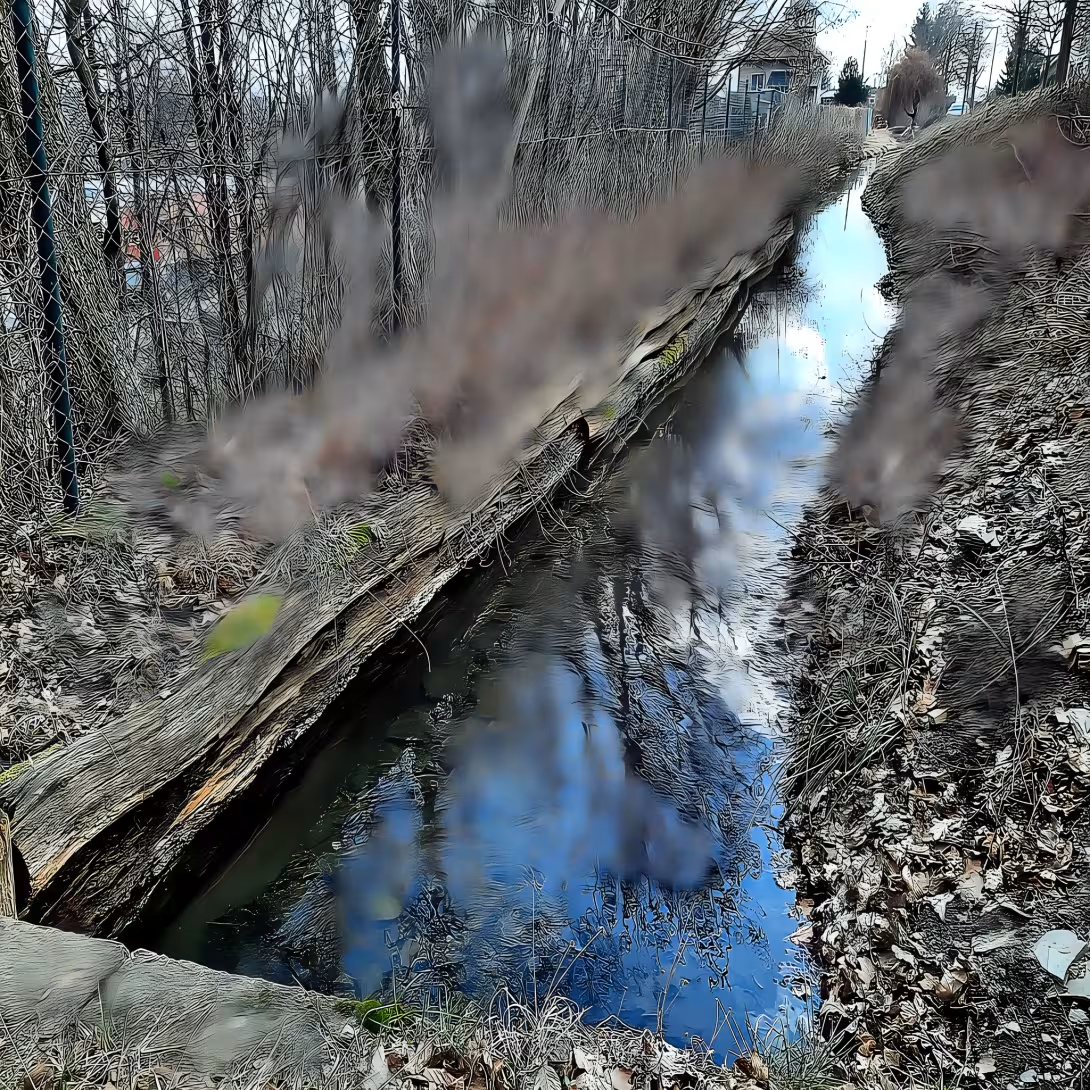
The historical appearance on the left is an AI-generated visualisation and serves as inspiration only.
Historical milestones
- around 1500
- Water channel construction for power ponds and mill drive
- around 1500
- Use of water to drive various production plants at the top of the gutter
Architectural development
It is a technical building from the turn of the 15th and 16th centuries. Currently the channel is blown in part of its course in the village of Solnice.
Points of interest
- It's an eight-kilometer artificial water channel from the turn of the 15th and 16th centuries. - The water in it flows from the river Belé to the system of Cernikovic ponds. - Historically it was used to power ponds and drive mills and mills. - It is assumed that the construction was carried out under the guidance of experts on ponds from the House of Pernštejn. - The channel is not open all the time, in part of the village Solnice is honked.
Guide
This guide is narrated by a synthetic voice generated by artificial intelligence.
Show guide text
This text was created by artificial intelligence and has not been editorially reviewed. It may contain inaccuracies.
Welcome to one of the most interesting waterworks in our region. You are standing in front of the Long Crouch, which stretches before you like silver thread in the landscape of the village Kvasiny. At first glance, it may seem to be just a simple water stream, but in fact, you will look at the fascinating work of human hands that carries hundreds of years of history. Stop for a moment, take a deep breath of fresh air and feel the calm surrounding this place. Imagine how the sky has been reflected in these waters for centuries, and how this grate formed the life artery of the entire area.
Let us now move far further back in time, to the turn of the 15th and 16th centuries. It was at this time, when major economic projects began to develop in our countries, that eight kilometres of construction was created. It wasn't a coincidence, it was a carefully thought-out plan. At that time, there were people in our areas who understood how to manage water and ponds. It is assumed that the whole building was carried out under the leadership of pond experts, specifically under the hands of masters of the House of Pernštejn. These people were basically pioneers in water engineering at the time. Their aim was to control the natural flows of water and use them for their needs, which at that time meant mainly fish farming and machinery propulsion.
Now, if you look at the grate itself, notice its course and linearity. It's an artificial channel, which means its path wasn't random, but it was carved and dug so that the water flows effectively from one point to another. The water in it comes from the river Belé here in Kvasiny and is headed towards the system of Černíkovických ponds. Feel how the water slowly but persistently travels through the countryside. Notice how this channel naturally became involved in the surrounding nature, even though it is a product of human labor. Although we do not see complex machines today, the very existence of this trough is indicative of the enormous efforts of hundreds of workers who, in a time without modern technology, were digging in the ground to ensure water supply to lower positions.
Now pay attention to what this grate has served in the past. It wasn't just landscape decoration, it was a highly functional system. Its main task was to power the surrounding ponds, which at that time was crucial for the prosperity of the entire region. Fishing was very profitable in the period around a thousand five hundred and required precise water management. But the trench function didn't end there. The water flowed in it to the great Chernikovic Mill, where its power was driven by the mill wheel. Imagine the noise, the splash of water, and the smell of ground grain that was lying around in space.
Interestingly, the water was not used only at the bottom of the mill. If you think about the upper part of the crest, you'll see that there were different factories in the past. Water was the most efficient source of energy at the time. Instead of electricity or steam, the flowing water was driven by the wheels of various workshops and manufactures. This made Kvasin and the surrounding area an industrial center of its kind at that time, where nature joined with human ingenious confidence. It is fascinating to think that this simple channel was essentially a medieval engine that powered the local economy and created jobs for people from surrounding villages.
Where's the secret in this story? It is precisely how the grate was built. Eight kilometers is a huge distance on the scale of that time. Imagine the calculations that the experts had to do to make the water flow right and not lose its power, but at the same time not to cause damage to the landscape. Even though we don't know the names of any particular architects or builders, their tracks are coming today. It's a silent monument to human endurance and intelligence. The mystery remains how many other small workshops and forgotten water wheels once stood along this road, and today they are only a memory in historical records.
When you look at the Long Gutter today, you see more than just water in the trough. You see the ambition of the Pernstejn people, you see the history of the pond and you hear the echoes of the old mills. It's a place where technology and nature connect in total harmony. This construction teaches us that nature can be collaborated to serve people without being completely destroyed.
We now invite you to move on and explore the surroundings of this unique water work. Take a walk along the shore, listen to the noise of the water and explore how the grate flows along the landscape towards Chernikovic ponds. You may discover other details in it that tell you stories about people who worked here five years ago. We hope this short trip to history has helped you better understand the meaning of the Long Crouch. We wish you a pleasant continued walk and enjoy the peace and beauty of this historic corner of our countryside. Goodbye.
Tips for visitors
The best time to visit is spring and autumn months, when the surrounding nature changes colors and the water in the canal becomes quieter. Use your own car or public transport to transport to this area, check the actual connection in the current search engines.
Take a walk along the water works with suitable shoes in the field and insect repellents as you move near water and green. For photographers are the most interesting sections where the channel flows through the landscape, the best light for images is shortly after sunrise or before sunset.
In the vicinity we recommend visiting the river Bělá, the system of Černíkovice ponds, the Vlkanov Fortress or the place where the Postolkovský Fortress once stood.
Families with children can make their journey more pleasant by watching the water flow and finding traces of an old pond craft, which can be an interesting educational experience in nature.
Frequently asked questions
Can the monument be visited?
We have not verified whether this monument is accessible. Please ask the owner or operator, or the local municipal office.
Where is the monument?
Location: Kvasiny, Královéhradecký kraj. The map on this page shows the exact spot.
Why is the monument protected?
It is listed in the Central List of Cultural Monuments of the Czech Republic as a cultural monument (register no. 25190/6-2320).
For kids
Imagine going back to the past, until there was a huge castle called Dlouhá strouha. It was a great fortress with high walls and massive towers.
It was like playing king or queen who ruled their people here and protected them from their enemies. The castle stood on a large hill and was seen from far away. Whoever approached must have broken through the mighty gates and overcome the dangerous abyss.
Businesses nearby
Do you run a restaurant, accommodation, shop, museum, rental, wellness or other visitor service near this monument? Show yourself directly to the people heading to it — this is how they will see you in the app and on the web:
Events nearby


Zdroj akcí: otevřená data měst a obcí ČR (Národní katalog otevřených dat) a kalendář akcí Národního památkového ústavu.
Nearby
V blízkosti se nachází říčka Bělá, soustava Černíkovických rybníků, Vlkanovská tvrz a místo bývalé Postolkovské tvrze.
Accommodation nearby
Themed route
1. Vlcanovsky fortress, historic place: Explore the ruins of this old fortification. 2. place of former Postolkovské fortress, historical place: Discover traces of ancient dwellings in the landscape. 3. River Belá, Water flow: Walk along the shore of this spring in nature. 4. system of Černíkovice ponds, water areas: admire the vast water areas in this area. 5. Dlouhá strouha, Water work: See the main destination of the trip, which is this unique water work.
Seasonal recommendations
In spring, the surroundings of the water works awaken to life and the landscape around Kvasin green. The air is fresh and thanks to the morning fog over the water there is a mysterious atmosphere. We recommend shoes that withstand moisture, and a visit in the morning when the light is fine.
In the summer months the place is dominated by dense vegetation and bright sun, which highlights the details of the historical building. It is advisable to choose light clothes and protect yourself from heat. The best time for a walk is late afternoon, when temperatures are milder and the shade of trees provides relief.
Autumn brings colorful leaves and melancholy mood to the surroundings. Lighting is golden and soft, creating ideal conditions for landscape observation. It is practical to carry a waterproof coat and laminated clothing, because it can be colder in this area in October or November.
In winter, the space around the gallows calms down and the landscape can be covered with snow, which underlines the desolation and history of the place. The atmosphere is freezing and quiet. It is necessary to wear warm shoes and wear warm gloves and hat, while a short day requires planning visits by noon.
Visualizations and artistic views


The visualisations are generated by artificial intelligence and serve as inspiration.
Photos from the area
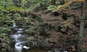
Real photos taken near the monument


Zdroj a licence jsou uvedeny u každého snímku.
Atmosphere of the place
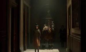
This atmospheric visualisation of the place and period was generated by artificial intelligence. It is not real footage of the location.
Tips from visitors
No tips yet. Be the first!
Log in and add your tip.
Sources and literature
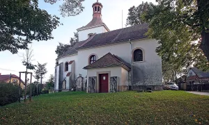
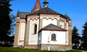
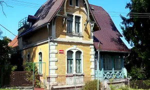
Photos: Jan Tošovský / CC BY-SA 4.0, rozlišení zvýšeno umělou inteligencí — Wikimedia Commons. The author and licence also appear when you hover over the image.
Faktickým podkladem tohoto textu byl článek na Wikipedii, jehož autory jsou přispěvatelé Wikipedie. Článek je dostupný pod licencí CC BY-SA 4.0.
Location on the map
Příběhy a pověsti
Legendy, pověsti a příběhy spjaté s touto památkou
Fotografie návštěvníků
Zatím žádné fotografie. Buďte první, kdo přidá fotografii z návštěvy!
Log in a přidejte svou fotografii nebo hodnoťte.
Za ověřenou návštěvu v aplikaci získáte víc bodů — poznáme podle GPS, že jste na místě.
Reviews and comments