



zlatý důl Bartův les se sejpy a mostem přes Zlatý potok Mine
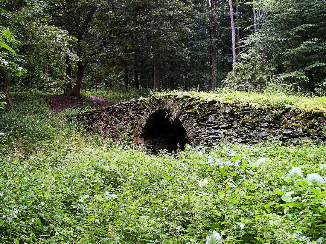
The Golden Mine Bartova Forest with connections of vault and bridge through the Golden brook is an archaeological site in the village Mladé Buky in the district of Trutnov in the Králové Hradec Region. The remains of gold mining from the 15th to 18th centuries. They are important for their impact on the terrain and the historical link with the development of mining in the Rýchor region.
Gold is already mentioned in this location during the reign of Prince Oldřich at the turn of the 10th and 11th centuries. However, the first documented mention of mining dates back to 1542. That was when the contract was concluded between Christopher of Gendorf and the owners of the Vlèický estate. In 1546, Emperor Ferdinand I. promoted the mining settlement of Freedom under the golden Riesboras to a city with top rights. That allowed her to legally extract gold and silver.
The period of greatest prosperity occurred around 1580, when Freedom over Úpa became the upper city. At this time the townsman Jan Jirský z Hradce Králové had built new shafts, among which were excelled pits Trenčín or Golden Klas. Intensive mining in the 16th century essentially redesigned the terrain. For drainage, the Klinge and Kluge stones were built in 1609, which later in 1768 was cleaned by Prince Schwarzenberg.
The mining activity was interrupted by a 30-year war. After it was completed, work was renewed, but not in the original scope. Due to unprofitable mining, it ceased in 1772 and ended in 1781 with a collection of rises. Near the mines was the village of Glářovice, which was destroyed in the 1950s as part of the Demolition event.
The current state of the site in Bart's forest is characterized by terrain covered with forest and grass. The dominant surface residue is a pit of 100 x 90 metres in size, where there are three flooded mouth shafts. In the field there are visible boulders, funnels over covered skylights and so-called safes. They are coupons or elongated hills created by mining activities. The underground system included shafts and stalls whose final length was unknown.
Part of the monument is an archaic stone bridge over the Golden brook, probably from the 16th century. It is built from local quarry stones and its total length is approximately 18 meters. The structure has no side handles and its crown is slightly airborne. The height of the vault is 430 centimetres, the axis of the vault is 460 centimetres and the width of the bridge is up to 550 centimetres near the road.
The monument is a unique testament to the period mining and technical skills of 16th century people. Visiting this archaeological site allows you to directly observe the effects of historical mining of precious metals on the landscape.
Then and now
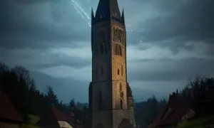
Drag the slider to compare how the landmark may have looked when it was built with the view today.
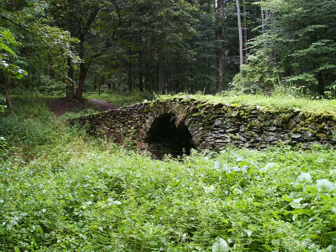
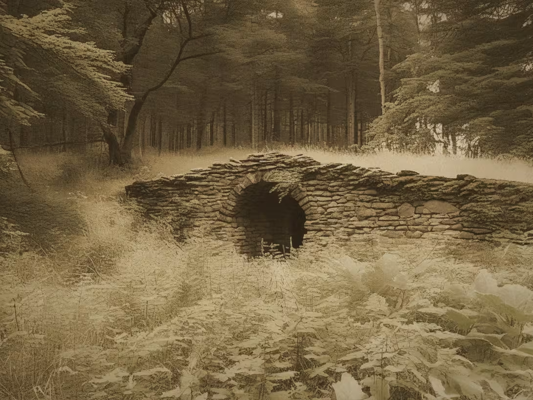
The historical appearance on the left is an AI-generated visualisation and serves as inspiration only.
Historical milestones
- 1542
- The first documented mention of gold mining in the form of a contract between Christopher of Gendorf and the owners of the Vlčický manor.
- 1546
- Emperor Ferdinand I. has promoted the mining settlement of Liberty to a city with top rights.
- 1580
- Freedom over Úpa becomes the upper city in the period of the greatest prosperity of the mines.
- 1772
- Gold mining has ceased because of unviability.
Architectural development
The underground system included shafts and drains, such as the Klinge and Kluge from 1609. The stone bridge is built from locally extracted quarry stones, has a slightly airborne crown and a structure without handles.
Historical events
In 1542, a gold mining contract was concluded between Christopher of Gendorf and the owners of the Vlèický manor. The 30-year war has interrupted intense mining activity. In 1781, the climb was demolished and the mining was finally over.
Points of interest
- The remains of gold mining from the 15th to 18th century. - The first documented mention of mining dates back to 1542. - The dominant surface residue is a pit of a large pin with dimensions of 100 x 90 meters. - There are some vaults in the field, which are coupons or elongated hills created by mining. - Part of the monument is a stone bridge through the Golden brook from probably 16th century, which is approximately 18 meters long.
Guide
This guide is narrated by a synthetic voice generated by artificial intelligence.
Show guide text
This text was created by artificial intelligence and has not been editorially reviewed. It may contain inaccuracies.
Welcome to Bart's Forest, a place where history meets nature and where the country still tells stories about human greed and endurance. You are standing right in front of the unique archaeological site that once formed the heart of the gold mining industry in the Young Buk region. Now, if you look around you, you might feel like you're admiring a simple forest landscape with its hills and a river bed. But take a closer look. What you see is not the work of nature, but the traces of thousands of hours of hard work for people who sought precious yellow metal here centuries ago. Let's move in time together. Imagine this place in the 16th century. At the time there was not a quiet forest, but a noisy settlement full of miners, where the wounds of pickaxe and the squealing of wooden structures were heard. Mining in this area reached its peak at that very time, and it fundamentally rebuilt the terrain you see before you. The first written proof that gold was wanted here dates back to a thousand and five hundred forty-two. At that time a treaty was concluded between the nobleman Christopher of Gendorf and the owners of the Vlèický estate. It is these people who have established the basis for the development of this region, which is now known as the Rýchor region. Now pay attention to the terrain itself. Notice those particular formations that resemble coupons or elongated hills. These shapes are called vaults. It's not natural heights, but remains of ore mining, when miners drilled the depths and threw the materials out of them. In addition to the vaults, you can find so-called pinky and bandages. If you look closely, you'll see how deeply they hit the ground. The dominance of the whole place is the Great Pink Pit. It is a truly impressive space with dimensions of 100 times 90 meters, which will best give you a picture of the scope of the operation at the time. Underneath the surface, there are ducts and stalls that formed a complex network of underground corridors. If you continue your journey, you will encounter one of the rarest elements of this monument. It's an archaic stone bridge that transforms the Golden Creek. Stop by his place and feel his atmosphere. This bridge was used to transport materials and people at a time when mining was in full swing. He is a silent witness to the time when prosperity and wealth ruled here. While you are going through this silence today, there was an incredible rush in the 16th century. In the year one thousand and five hundred forty-six Emperor Ferdinand first promoted the mining settlement of Liberty to the city and granted her top rights. This meant that the place gained legal protection and recognition, which attracted other people to the dream of wealth. The peak of this blossom occurred in the year one thousand and five hundred and eighty, when Freedom over Úpa became a full upper city. At that time, this place was one of the key points of mining throughout the region. Among the persons involved in this region, for example, was Jan Jirský z Hradce Králové. All these people believed that there was a non-burning treasure in Bart's deep forest that would change their lives. You might be wondering why we're not standing in a prosperous city today, but in the woods with the remains down. The answer is in the country itself. Gold mining is extremely demanding, and with the advancing time, the resources began to run out. What was once profitable became uneconomic. In the year one thousand seven hundred seventy-two mining finally ceased because it was no longer worth investing in depths that did not bring enough precious metal. Nature then slowly took its back, covered the green shafts, and turned the noisy city into a quiet forest. But there is one interesting thing that you can find interesting. Imagine you've been in this field for over 500 years. Even though the mines are closed and quiet today, the energy from that time is still there. It's fascinating to think how many people have spent their days and nights here in the darkness, with the only hope of finding a golden vein. This whole space is actually a huge open museum, where every hill and every stone has its meaning. I will now invite you to move on slowly and explore the rest of this compound. I recommend stopping at the Great Pinky and trying to imagine what the bottom of this pit looked like when dozens of men worked in it at once. Go through the stone bridge through the Golden stream and feel the cold of the stone that lasts for centuries. Follow the lines of the terrain and look for other vaults that wave in the landscape. Thank you for spending time with us in Bart's forest. We hope that you have felt the spirit of the old mining industry and that this journey into the depths of history has attracted you. We wish you a pleasant further walk along the Rýchor roads and a profound experience of discovering the secrets that this country still hides within itself. Goodbye.
Tips for visitors
The best time to visit is autumn months, when fallen leaves in the forest reveal the shapes of terrain such as vaults and boulders, which are hidden under thick greenery in summer. Transport to the Young Buk region is possible by car and public connections; Check the specific path and connection in maps or search engines.
In the forest, wear tight shoes with high soles and suitable clothes for terrain, as you move in the area of ruins and underground works. Since this is an archaeological site, we recommend that we have enough water and insect repellent.
For the best photos, start early morning or shortly before sunset. Soft light beautifully highlights the relief of the surface and details of the bridge over the Golden stream. Focus on the contrast between nature and the remains of the shafts and spines.
In addition to the mines, visit the surroundings of the Golden Brook and the area of the former village of Glářovice, which was destroyed in the 1950s. For families with children, the place is suitable as a space for exploring the history of mining in the field, but it is recommended that children keep watch for danger in the vicinity of old shafts.
Frequently asked questions
Can the monument be visited?
This is a technical monument. Some are open as exhibitions, others are out of use or on private land. We have not verified whether this one is accessible.
What are the opening hours and admission?
We have not verified the opening hours or admission. Current information is published by the operator.
Where is the monument?
Location: Mladé Buky, Královéhradecký kraj. The map on this page shows the exact spot.
Why is the monument protected?
It is listed in the Central List of Cultural Monuments of the Czech Republic as a cultural monument (register no. 12578/6-5628).
For kids
Imagine going back to a time when our country wasn't what you know. It was a different time, full of stories and secrets. Except for one place - on the cliffs above the Golden Brook in the beautiful Bart Forest.
This place was once a gold mine! Yes, right! People here were looking for gold that was hidden in the rocks and underground. It was hard work, and a lot of people had to risk their lives to bring the most precious metal to the surface.
Businesses nearby
Do you run a restaurant, accommodation, shop, museum, rental, wellness or other visitor service near this monument? Show yourself directly to the people heading to it — this is how they will see you in the app and on the web:
Nearby
V blízkosti se nachází potok Zlatý potok a oblast bývalé obce Sklenářovice, která byla zničena v padesátých letech 20. století.
Accommodation nearby
Themed route
1. Greenhouse, place of the former village. This area represents where the village once stood before its demise in the 1950s. 2. Gold stream, water flow. The road leads along this stream towards the main monument. 3. The Gold Mine of Bart's Forest with vaults and a bridge through the Golden stream, archaeological sites. Here you can admire historical mine tracks, rock terraces and bridge over water.
Seasonal recommendations
In spring, the surrounding nature awakens to the life and surroundings of the Golden Mine in Young Bukky will flood the fresh green. The air is damp, which highlights the smell of the forest and makes the atmosphere at the stream fresh. We recommend shoes with fixed soles, because roads to ruins can be muddy after melting snow. The best is to visit the place in the morning when the light is soft and clean.
Summer brings thick leaves that shear roads to historic safes and bridge. The sun shines through the trees and creates a game of light and shadow on old stones. In the main summer season it is advisable to choose early in the morning to avoid heat. Do not forget light but durable clothes and insect protection, which is very active in the forest area.
Autumn is the period of the most striking colors, when the surrounding forests turn yellow and red. The atmosphere at the archaeological site is melancholy and calm, which underlines the state of ruins. The air is getting colder and wetter, so it is advisable to wear layered clothes and waterproof shoes. The ideal time for a visit is in the afternoon, when the low sun illuminates the landscape beautifully.
Winter turns the surroundings of the Golden Creek into a quiet, snowy place. The snow covers up the terrain details and reduces all sounds, which gives the memory a mysterious touch. Due to the frost and possible ice on the bridge and around the mine shafts, it is necessary to have warm and slippery shoes and sufficient winter clothes. The best thing to do is to go out in the light of day so the road is safe.
Visualizations and artistic views


The visualisations are generated by artificial intelligence and serve as inspiration.
Photos from the area
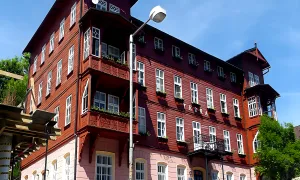
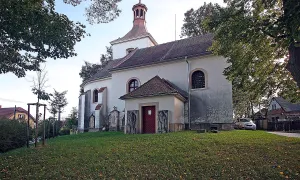
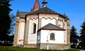
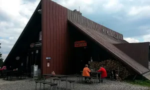
Real photos taken near the monument


Zdroj a licence jsou uvedeny u každého snímku.
Atmosphere of the place
This atmospheric visualisation of the place and period was generated by artificial intelligence. It is not real footage of the location.
Tips from visitors
No tips yet. Be the first!
Log in and add your tip.
Sources and literature
Photos: JiriMatejicek / CC BY-SA 4.0 — Wikimedia Commons. The author and licence also appear when you hover over the image.
Faktickým podkladem tohoto textu byl článek na Wikipedii, jehož autory jsou přispěvatelé Wikipedie. Článek je dostupný pod licencí CC BY-SA 4.0.
Location on the map
Příběhy a pověsti
Legendy, pověsti a příběhy spjaté s touto památkou
Fotografie návštěvníků
Zatím žádné fotografie. Buďte první, kdo přidá fotografii z návštěvy!
Log in a přidejte svou fotografii nebo hodnoťte.
Za ověřenou návštěvu v aplikaci získáte víc bodů — poznáme podle GPS, že jste na místě.
Reviews and comments