



Důl Theodor Mine
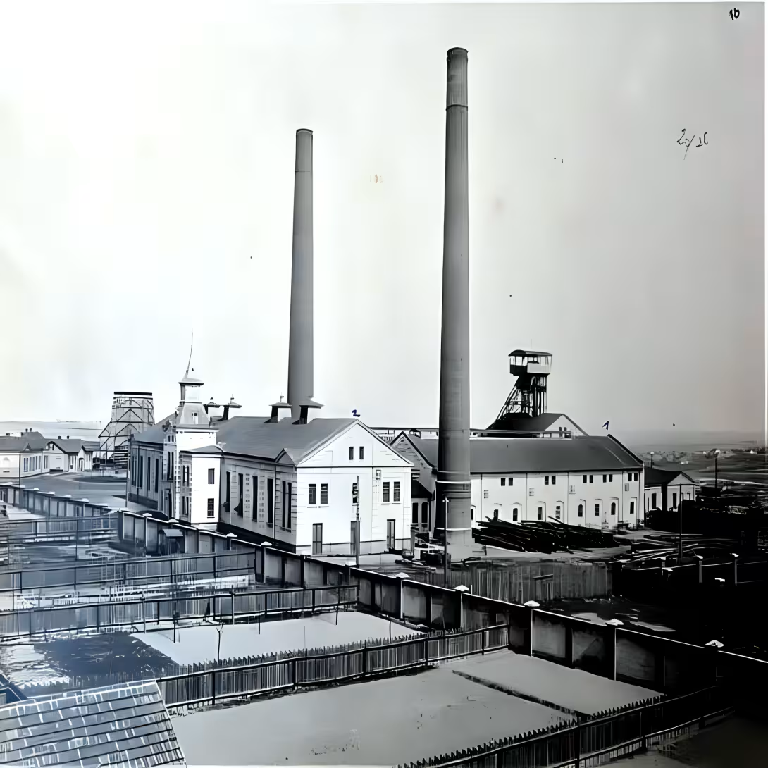
Důl Theodor presents traces of old iron ore mining in South Moravia. It is located in the cadastral area of Svatoslav in the district of Brno-venkov, approximately 300 meters west of the centre of the village, on the left bank of the small stream which flows into the White creek. From these mines, only a protected draining hole has been preserved, which the state care has recognised as worthy of conservation.
On the Svatoslava, there were originally several mines aimed at the extraction of iron ore, namely limonitIncreasing from a depth between 10 and 21 metres. Důl Theodor was founded by the Rosická Mining Company in 1862 and its operation lasted only nine years - the activity was completed in 1871. This short age of mining activity reflects economic conditions of time and the gradual exhaustion or disadvantage of further mining.
From the point of view of technical implementation, a drainage shaft has been drawn up, which extends more than 150 metres: first about 65 metres north, then breaks and continues 90 metres east northeast. The stamping took place in heavy rock - first in phylites, later in marble with mineral content such as calcite and iron dolomite-ankerite. The hill was driven into a rock with a high-end profile without support. In the vicinity of the estuary there are still remnants of rock draught, which was partly aligned and partly transported to close construction of the water tower.
Today's stol state reflects more than 150 years of abandonment. The entrance part collapsed over time and the mine lies in the slope. Interference is permanently flooded, the mouth is sealed with a steel door with a diameter of 1,5 × 0,6 meters. In 1964 the stol was registered in the Central List of Cultural Monuments of the Czech Republic. Today, this site serves as a witness to the past industrial activities of Svatoslava and reminds of the era of raw materials mining for the developing nineteenth century industry.
Then and now
Drag the slider to compare how the landmark may have looked when it was built with the view today.
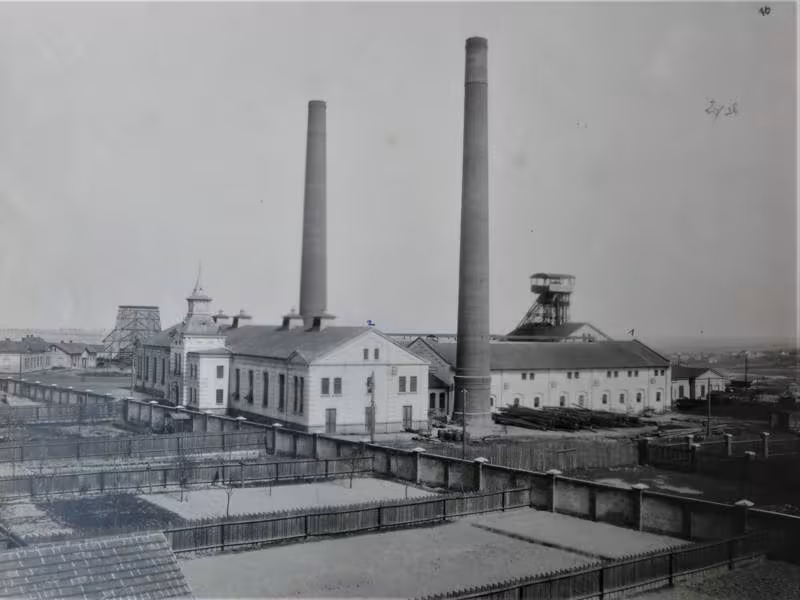

The historical appearance on the left is an AI-generated visualisation and serves as inspiration only.
Historical milestones
- 1862
- The founding of the mine by the Rosicka Mining Company.
- 1871
- Termination of mining activities.
- 1964
- The entry of draining stol into the Central List of Cultural Monuments of the Czech Republic.
Architectural development
The shaft was embossed with a high profile without the use of the sink directly into the fylites and marble. It is first oriented towards the north and then east-northeast. The entrance part is down today and the mouth is closed by a steel door.
Historical events
1862: Establishment of the mine by the Rosicka Mining Company; 1871: Termination of the mine; 1964: The entry of draining stol into the Central List of Cultural Monuments of the Czech Republic.
Owners
Rosická mining company (founded 1862)
Points of interest
- The mine was founded by the Rosická Mining Company in 1862 and operated only nine years until 1871. - The preserved drainpipe is over 150 metres tall and embossed in phylites and marble. - The well was prepared with a high profile and did not require support. - The interior of the bridge is permanently flooded and its mouth is sealed with steel doors. - In 1964 the stol was registered in the Central List of Cultural Monuments of the Czech Republic.
Guide
This guide is narrated by a synthetic voice generated by artificial intelligence.
Show guide text
This text was created by artificial intelligence and has not been editorially reviewed. It may contain inaccuracies.
The Theodor Mine was one of several iron ore mines on the cadastral territory of the Svatoslav municipality in the Brno-venkov district. Iron ore, mainly limonite, was extracted from these mines at depths of between ten and twenty-one metres.
The mine is located approximately 300 metres west of the centre of Svatoslav, on the left bank of a small stream that flows into the Bílý potok. It was founded by the Rosická Mining Company in 1862 and ceased operations as early as 1871.
A drainage adit has been preserved from the mine. It initially ran approximately 65 metres northward and then 90 metres in a direction towards the east-north-east. During excavation, the work proceeded first through phylite and later through marble, in which veins of calcite and iron-bearing dolomite, known as ankerite, appeared.
The adit is cut into the hillside and driven directly through the rock. It has a barrel vault profile and required no timber support. Its entrance section has collapsed and the adit is now flooded. The entrance is bricked up and secured by steel doors. The opening at the entrance measures one and a half metres by sixty centimetres.
Remains of the waste dump, consisting of heaps of extracted material, remained in front of the entrance. Part of the dump was levelled and part was removed, most likely for the construction of a nearby water tower.
The heritage-protected section is a fifty-metre long driven section of the drainage adit. It was entered in the Central Register of Cultural Monuments in 1964.
Frequently asked questions
Can the monument be visited?
This is a technical monument. Some are open as exhibitions, others are out of use or on private land. We have not verified whether this one is accessible.
What are the opening hours and admission?
We have not verified the opening hours or admission. Current information is published by the operator.
Where is the monument?
Location: Svatoslav, Jihomoravský kraj. The map on this page shows the exact spot.
Why is the monument protected?
It is listed in the Central List of Cultural Monuments of the Czech Republic as a cultural monument (register no. 46962/7-990).
For kids
Imagine coming back 164 years... Until the Czech mining industry started to wake up and when there were no cars or television. That's exactly where we want to take you today - to Theodore's mine!
Businesses nearby
Do you run a restaurant, accommodation, shop, museum, rental, wellness or other visitor service near this monument? Show yourself directly to the people heading to it — this is how they will see you in the app and on the web:
Events nearby
Zdroj akcí: otevřená data měst a obcí ČR (Národní katalog otevřených dat) a kalendář akcí Národního památkového ústavu.
Nearby
The mine is located on the left bank of the small creek, which is the presence of the White creek, about 300 meters west of the centre of the village Svatoslav.
Accommodation nearby
Trips and activities nearby
Guided tours, tickets and activities nearby from GetYourGuide
Affiliate link: if you buy from the partner, we may receive a commission. The price for you does not change.
Search tours and activities →Themed route
1. Centre of the municipality Svatoslav (village) - Default point of the path where you can start your walk. 2. Small stream (water flow) - The natural tributary of the White Creek, which leads the way to the main monument. 3. Důl Theodor (monument) - The main destination of the trip located on the left bank of the creek approximately 300 metres from the centre of the village.
Seasonal recommendations
Spring at Svatoslav brings an awakening landscape that contrasts with the dark stone residue of the Theodore mine. In this period the light is soft and scattered, highlighting the texture of the old stone and surrounding vegetation, which is only green. The atmosphere is calm and quiet, ideal for photographers looking for fine color transitions. Practical advice includes layered clothing because spring weather is usually variable; An umbrella or waterproof jacket is essential. We recommend visiting a monument on Tuesday or Wednesday when trips are less crowded tourists. The morning clock offers the best light conditions without long shadows, which later on the day cover the details of ruins.
Summer brings intense sun to the South Moravian Region and long days that allow you to explore the surroundings of Theodor mine in the quiet evening hours. Specific here is sharp lighting, which can be too strong at noon and create hard shadows on stone structures. Nature is in full bloom, which gives the place a lively atmosphere, but also attracts more visitors. For a comfortable experience it is crucial to come as early as possible in the morning, ideally before 9:00 to avoid the main crowds and heat. Clothes should be light, breathable and light, with emphasis on sun protection such as a hat and sunglasses. Since this is a ruin without shadows, it is important to have enough drinking regime.
Autumn at Svatoslav offers a unique color game where the surrounding leafy trees change their clothing into golden and brown shades, creating a dramatic contrast with the grey stone of the Theodor mine. The light is lower and warmer in this period, which gives the ruins a mysterious and nostalgic touch. The atmosphere is colder and the air fresh, which promotes a sense of calm and reflection. It is practically appropriate to wear warm layers, including sweaters and jackets, as temperatures fall. The best time to visit is the late morning when the sun shines at an angle that illuminates the details of the stone without direct glare. Autumn weekends can be busy, so it is better to choose a working day.
Winter transforms Theodore's mine into a dramatic silhouette against the grey sky, often surrounded by snow that highlights the ruins and surrounding landscapes. The lighting is short and weak, which creates a melancholy and quiet atmosphere, ideal for those who seek solitude and peace. Nature sleeps, which reveals the structure of the terrain, otherwise hidden vegetation. Practical advice focuses on maximum heat: layered clothes, winter shoes with a good heel for possible slippery paths and gloves are a necessity. Due to the short days, it is best to visit the memory around noon when the most light and heat is. In winter months, roads are often empty, allowing free movement and unbeatable views of the history of this place without crowd interference.
Visualizations and artistic views


The visualisations are generated by artificial intelligence and serve as inspiration.
Photos from the area
Real photos taken near the monument


Zdroj a licence jsou uvedeny u každého snímku.
Atmosphere of the place
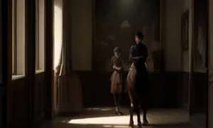
This atmospheric visualisation of the place and period was generated by artificial intelligence. It is not real footage of the location.
Tips from visitors
No tips yet. Be the first!
Log in and add your tip.
Sources and literature
Faktickým podkladem tohoto textu byl článek na Wikipedii, jehož autory jsou přispěvatelé Wikipedie. Článek je dostupný pod licencí CC BY-SA 4.0.
Location on the map


Příběhy a pověsti
Legendy, pověsti a příběhy spjaté s touto památkou
Fotografie návštěvníků
Zatím žádné fotografie. Buďte první, kdo přidá fotografii z návštěvy!
Log in a přidejte svou fotografii nebo hodnoťte.
Za ověřenou návštěvu v aplikaci získáte víc bodů — poznáme podle GPS, že jste na místě.
Reviews and comments