



Oppidum Stradonice Oppidum
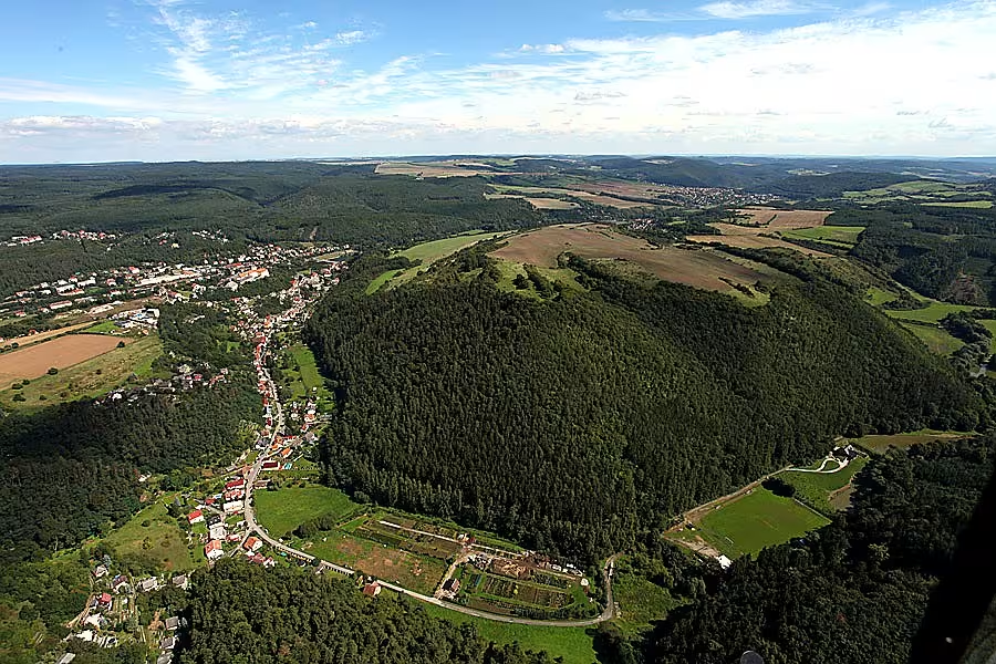
Oppidum Stradonice is one of the most important Celtic oppid in Czech territory. It is located on the upper plateau of the Hradiště hill at an altitude of 380 metres, in the area between the municipalities of Nižbor and Stradonice, and extends over an area of 90,3 hectares.
The unfortified settlement was established after the middle of the 2nd century B.C. The first fortification was built around 120 B.C. At that time, oppidum was part of the line including the Envy, Týnek nad Labem and České Lhotice, which represented the northern border of the enlargement of oppid in this part of Central Europe. The fort was probably destroyed in 40-25 B.C.
Thanks to the natural terrain, the platform is divided into acropolis and a foothold. Both parts were fortified; the total length of the walls was 4,3 kilometres, the acropolis being 2,8 kilometres. Four documented gates led to the compound. Two of them were in the north and headed for the vanguard from Nižbor and Stradonice. A double gate from the southeast and another from the southwest led to the acropolis. The terrain in the south suggests the existence of a fifth gate, but the remains of which have not been archaeologically verified. The settlement was organized along planned paths and the most prestigious installation was located in places called U Křížek.
In the vicinity of oppida there were deposits of iron ore and copper, while the surrounding streams were golden. A significant event was the discovery made on 2 August 1877. Liborin Lebr, when digging up old animal bones for bone charcoal, discovered a depot of 200 gold coins called iris. Bone mining was due to the economic crisis following the collapse of the Vienna Stock Exchange in 1873. As soon as the findings spread, people began to dig up the area of the entire castle, but they managed to find only a few unique coins.
Since 1965, the archaeological site has been protected as a cultural monument. It is accessible on a red marked local tourist route, forming a circuit between Stradonice and Nižbor. In parallel, it is led by the lecturing path of the Celtic oppida Stradonice, approximately six kilometres long, opened in 2005.
This monument represents an important point for understanding Celtic settlements in Bohemia. Her visit offers insight into the history of ancient Central Europe.
Historical milestones
- 120 B.C. l.
- construction of the oldest fortifications
- 1877
- finding a depot of 200 gold coins Liborin Lebro
- 1965
- declaration by cultural monument
- 2005
- opening the teaching path of the Celtic oppid Stradonice
Architectural development
The site evolved from an unfortified area to a fully fortified oppid with acropolis and a dam. The total length of the fortifications was 4,3 kilometres and the entrance was possible by four documented gates. The construction was organized along planned paths.
Historical events
The formation of an unfortified settlement after the mid-2nd century B.C., the construction of the first fortification around 120 B.C. and the probable demise in 40-25 B.C.
Points of interest
- It is located on the upper plateau of the Hradiště hill and stretches on an area of 90.3 hectares. - The first fortification was built around 120 B.C. and the total length of the walls was 4.3 kilometers. - There were deposits of iron ore and copper nearby, while the surrounding streams were golden. - Liborin Lebr discovered a depot of 200 gold coins called iris. - Since 1965, this archaeological site has been protected as a cultural monument.
Guide
Show guide text
This text was created by artificial intelligence and has not been editorially reviewed. It may contain inaccuracies.
Welcome to the place where time stops and where history touches the earth itself under your footsteps. You are standing in front of one of the most important archaeological findings in the whole region of Bohemia - before the oppid of Stradonice. If you look around now, you'll probably see a vast, peaceful landscape that can act at first glance as a natural platform. But know that it is under this peaceful layer of earth, on the upper plateau of the Hradiště, that the revealed size of ancient civilization is hidden. Feel this atmosphere, feel this space. What you see before you is not only the hills and the fields, but the remains of the world, which was the peak of technological and political progress in this part of Europe over two thousand years ago.
Let's go back to the deep past together to understand why this place is so special. Imagine the period after the mid-second century of the transitional period before our current number of years. At that time there were no walls, but there was already a significant unfortified settlement. They were people who found the perfect place to live and trade. Over time, however, the needs of this community have changed. Perhaps a time of uncertainty has come, perhaps the need to consolidate its power, and so around 120 temporary years before our current number of years began to build the first real fortifications. This made the simple settlement an oppidum - an important fortified centre, which served not only as a home, but also as a centre of administration, trade and craft. Stradonice became a key point of Celtic culture, a place that required not only defence, but also an organization on an unprecedented scale back then.
Now pay close attention to the size and structure of this place, even though it may seem to you that all you see is an open landscape. If you tried to measure the entire area of this oppida, you would find it occupies over 90 hectares. It's a surface that must have been a stunning impression at the time. The entire complex was not built randomly. It was carefully divided into two main parts: acropolis, i.e. elevated and the most important core, and a barrier which served the wider needs of settlers. This whole vast space was protected by walls whose total length was incredible four and three decimal kilometers. Imagine the work, the effort and the technical skill that people had to spend to build such a massive and complex defense system around such a vast territory. Even if you don't see the physical walls today at their full height, the knowledge of their existence and dimensions should guide you every step of the way.
In order to understand why this site was so selected and why people here decided to invest so much energy in construction, we need to look at what nature itself offers in this area. The gastropods were not selected at random. This plateau was strategically located and the surrounding area offered the wealth that made the Celtic Yhtebka powerful at the time. In close proximity there were valuable deposits of iron ore and copper. These raw materials were the basis of the industry and technical progress at the time. Besides, the surrounding streams were golden. Imagine the currents of water that carried pieces of precious metals inside them, and imagine the people who learned to extract these treasures from the water. It was thanks to these resources that Stradonice became a rich and prosperous centre that managed to finance such monumental buildings as the walls.
With this wealth and power, there are also stories that we have managed to extract from these layers of the earth. One of the most important moments in the modern history of this place was the year of a thousand eight hundred seventy-seven. That's when the find took place, which gave this place a whole new dimension. Liborin L. then discovered an incredible treasure - the entire deposit of 200 gold coins. Imagine the excitement, the weight of gold that was at the time a symbol of the highest position and wealth. This find has clearly shown us that Stradonice was not just an ordinary settlement, but a real financial and political hub where a huge number of valuables moved. This moment was one of the key points that led to this region being later recognised as extremely valuable and was officially declared a cultural monument in a thousand and nine hundred and sixty-five.
Even though we walk in peace after this place today, there is a mystery hidden in that place. How did people get so organized on such an extensive surface? How did they manage to keep such a complex system in such a boom? And what happened when their era finally closed? Although we have many answers thanks to archaeology, we always feel that we are just guests in a place that has its own, deep secret. The invisible force that once controlled this peak of the Hradic, still resonates in that space.
Now I want to invite you to continue this journey. In front of you is the teaching trail of the Celtic oppida Stradonice, which was opened in the year two thousand and five. I suggest you not just let yourself see the landscape, but try to see the space in which you are moving. Walk through these roads, perceive the extent of the acropolis and the foothills and try to reconstruct the bust in your mind, the life that once took place here. Every step along this path is a step into the past that shaped our territory. I wish you a pleasant walk through this fascinating world of old Celtic masters. Thank you for joining me on this short journey through time.
Tips for visitors
For the best experience we recommend a visit in spring or autumn months, when the weather for walking on the plateau is more pleasant.
When visiting, prepare to move in the natural terrain, so it is necessary to take comfortable shoes and plenty of drinking water. For families with children, this extensive archaeological site represents a great opportunity to discover history in the open landscape.
If you are interested in photography, the best time is around sunrise or sunset, when light best highlights the relief of the Hradiště. The surrounding valley of Berounka and Habr creek offers the best views for images.
Within a short walk around you can explore the natural beauty of the Berounka Valley and at the flow of Habrova stream, which surround this important Celtic place.
Frequently asked questions
Can the monument be visited?
This is a ruin. Such sites are often freely accessible, but some can only be visited with a guide or are closed for safety reasons. We have not verified the current situation – take care and respect any restrictions.
Where is the monument?
Location: Nižbor, Středočeský kraj. The map on this page shows the exact spot.
Why is the monument protected?
It is listed in the Central List of Cultural Monuments of the Czech Republic as a cultural monument (register no. 1000134274).
Businesses nearby
Do you run a restaurant, accommodation, shop, museum, rental, wellness or other visitor service near this monument? Show yourself directly to the people heading to it — this is how they will see you in the app and on the web:
Events nearby
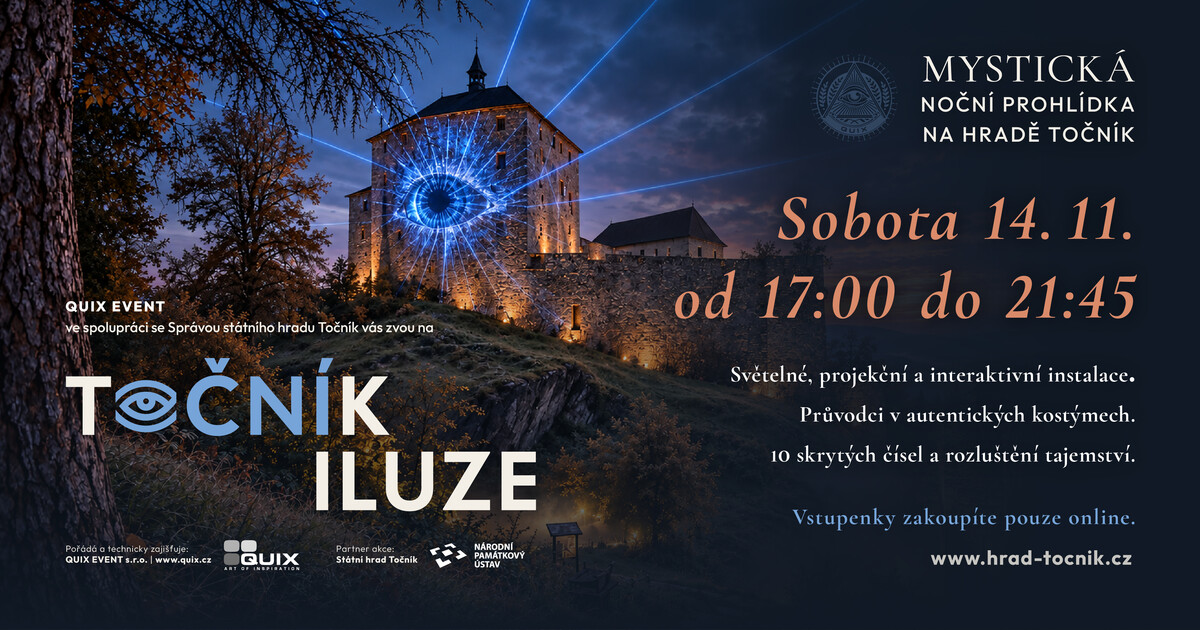
Zdroj akcí: otevřená data měst a obcí ČR (Národní katalog otevřených dat) a kalendář akcí Národního památkového ústavu.
Nearby
The monument lies on the top of the Hradiště between the municipalities of Nižbor and Stradonice, surrounded by the valleys of Berounka and Habra creek.
Accommodation nearby
Themed route
Thematic cruise route: Oppidum Stradonice and surroundings
1. Oppidum Stradonice (archaeological site) Type: Archaeological site Why is worth a visit: Oppidum Stradonice is one of the most important Celtic castles in the Czech Republic. Visit this place to learn about the life and culture of Celts who lived here over 2000 years ago. An opportunity to explore archaeological findings and understand the history of this territorial fortress.
2. Berounka Valley Type: Natural area Why is worth a visit: Berounka Valley offers beautiful landscapes and a peaceful opportunity for relaxation in nature. This valley is an ideal place for short walks or picnics where you can enjoy a view of the river and surrounding woodland.
3. The Valley of the Habra Creek Type: Natural area Why is it worth a visit: The valley of Habr creek is another natural body you can walk through. This quiet corner offers the possibility of relaxed walks and an opportunity to enjoy the quiet atmosphere of the rural environment.
4. The Castle Type: Historical site Why is it worth a visit: The Hradiště, where Oppidum Stradonice is located, is a historically important location with a rich past. Visit this place for a better understanding of the strategic importance and architectural features of Celtic castles.
5. Ambient forests Type: Natural area Why is it worth a visit: The surrounding forests offer the opportunity to explore nature and relax in a quiet, green atmosphere. Ideal place for cycling or long walks where you can enjoy a view of trees and perhaps some wild animals.
This route allows you to explore the historical and natural wealth of the area around Oppidum Stradonice, offering you to the depths of Czech cultures and nature.
Seasonal recommendations
In the spring Oppidum Stradonice comes to life thanks to the awakening nature and fresh green character. The soft spring light gently highlights the outlines of ancient fleas and creates an optimistic atmosphere. We recommend moisture-resistant shoes because the terrain can be muddy after melting snow. An ideal visit in the morning is when the air is the cleanest.
The summer season brings sharp sun and rich colors of the surrounding landscape, creating contrasting views of archaeological remains. Expect more visitors in the main season, which is why it is advisable to come first thing in the morning to avoid heat and clumps of people. Remember light clothing, hat and plenty of fluids for a long walk in the open space.
Autumn in Nižbor is a period of golden colors and frequent fog, which provide the ruins with a mysterious and melancholic atmosphere. Clean air allows beautiful views of the surroundings, which are the most prominent at this time. Discover yourself with a waterproof jacket and tight shoes, and plan your way to a late afternoon when the sun paints the landscape in warm tones.
In winter, there is absolute calm and freezing silence at the site, which underlines the desolation of the historic place. The snow can cover small details of the terrain, but it also highlights the basic structure of oppida.
Visualizations and artistic views


The visualisations are generated by artificial intelligence and serve as inspiration.
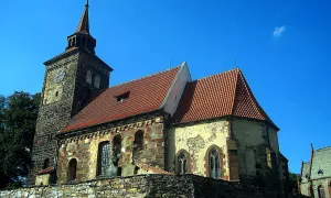
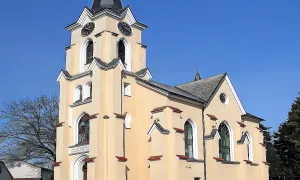
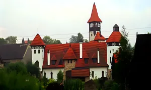
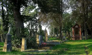
Photos from the area
Real photos taken near the monument


Zdroj a licence jsou uvedeny u každého snímku.
Tips from visitors
No tips yet. Be the first!
Log in and add your tip.
Sources and literature
Photos: CeSt / CC BY 3.0 — Wikimedia Commons. The author and licence also appear when you hover over the image.
Faktickým podkladem tohoto textu byl článek na Wikipedii, jehož autory jsou přispěvatelé Wikipedie. Článek je dostupný pod licencí CC BY-SA 4.0.
Location on the map

Příběhy a pověsti
Legendy, pověsti a příběhy spjaté s touto památkou
Fotografie návštěvníků
Zatím žádné fotografie. Buďte první, kdo přidá fotografii z návštěvy!
Log in a přidejte svou fotografii nebo hodnoťte.
Za ověřenou návštěvu v aplikaci získáte víc bodů — poznáme podle GPS, že jste na místě.
Reviews and comments