



Hrádek u Sudoměře Archaeological site
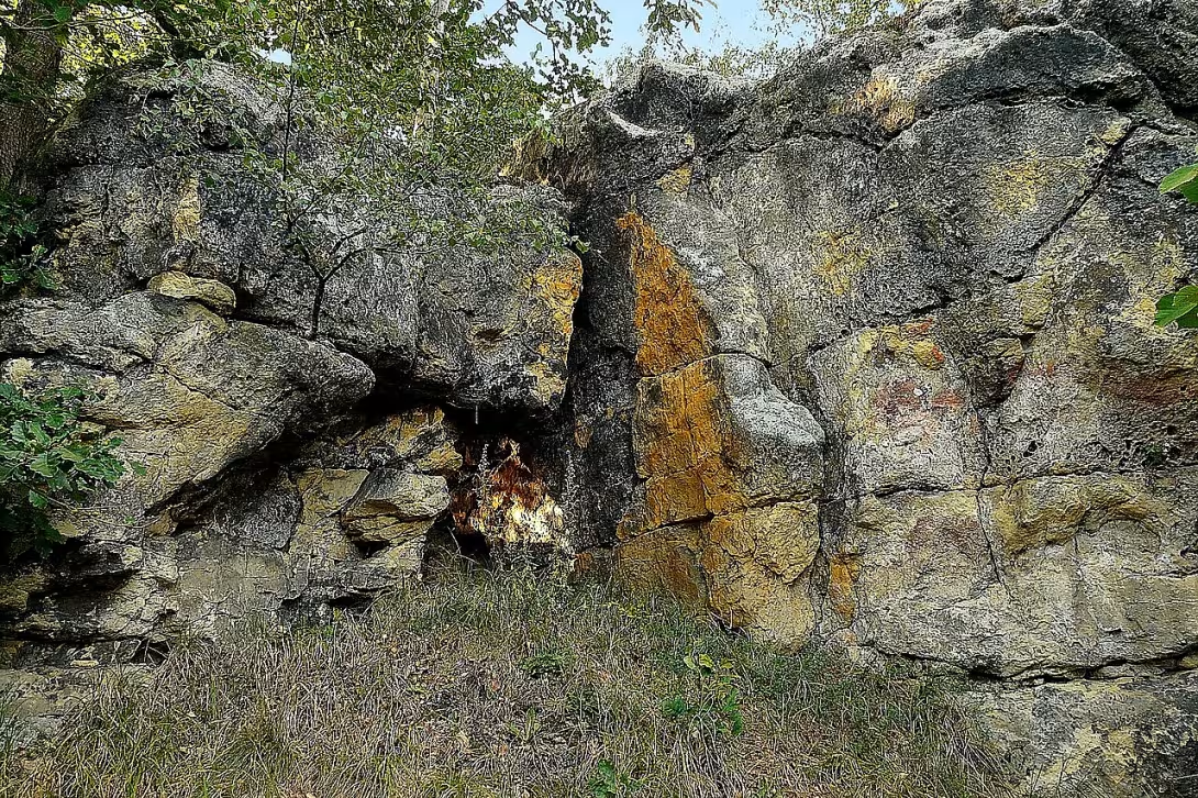
Objekt se nedochoval — na místě dnes nestojí. Následující text popisuje jeho historii, ne současnou návštěvu.
Hrádek u Sudoměře, a locality also known as Back Hrádek, represents an archaeological site with remains of a fortified settlement. The locality was formed gradually in prehistoric and medieval times and is located in the North Bohemian landscape of the Mladá Boleslav district. Specifically, it is situated in the cadastral territory of the municipality Sudoměř, with its northern edge also affecting the municipality of Skalsko. An important part of the site is the remnants of the perimeter fortifications, which reveal how the settlement was protected and structured when people were staying here.
In the Middle Ages, it is assumed that the site was the place of the fallen rock castle. The idea of a medieval castle on a rock high corresponds to the period of fortification, when the fortresses were built on eminents providing natural defence potential. The archaeological findings and topography of the site support this assumption, although detailed information on the architecture or the original form of the castle is not entirely clear in the available resources.
The historical importance of Hradec u Sudoměře was officially recognised in 1988 when it was entered into the register of cultural monuments of the Czech Republic. By doing so, the State recognised its historical and scientific price and ensured legal protection. The entry meant that the site was part of the national cultural heritage and that it had to be protected for future generations and for scientific research.
At present Hrádek u Sudoměře has comprehensive protection - it is registered as a cultural monument, a natural monument and a European landmark. This layered protection points out that the site is worth not only to historians and archaeologists, but also to environmentalists and landscape specialists. The European status indicates that the site is part of the European cultural and natural heritage.
The visitors to the landscape between Sudoměři and Skalska may try to find the remains of the perimeter fortification and terrain forms that resemble the ancient settlement. Although they are not easy to read without professional guidance, the authenticity of the site and its protective status makes the place suitable for interested people in the medieval and prehistoric settlement of Bohemia.
Then and now
Drag the slider to compare how the landmark may have looked when it was built with the view today.
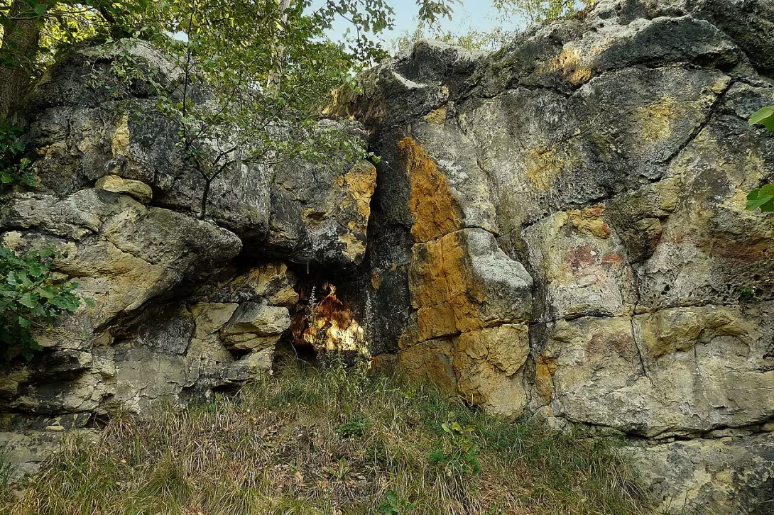

The historical appearance on the left is an AI-generated visualisation and serves as inspiration only.
Historical milestones
- 1250
- Construction of a rock castle
Architectural development
The fort includes the remains of prehistoric and early medieval structures which were protected by the cliffs on both sides of the island. The detailed history of architectural development is not specified.
Historical events
Construction of the rock castle in the 13th century
Points of interest
- Hrádek u Sudoměře represents an archaeological site with the remains of a fortified settlement, which formed gradually in the prehistoric and medieval ages. - The locality is located in the north of Bohemia in the village Sudoměř and also interferes with the territory of Skalsko. - In the Middle Ages, it is assumed that the location was the place of the fallen rock castle. - The historical importance of Hradec u Sudoměře was officially recognised in 1988 when it was entered into the register of cultural monuments of the Czech Republic. - The site has complex protection as a cultural monument, a natural monument and a European location.
Guide
This guide is narrated by a synthetic voice generated by artificial intelligence.
Show guide text
This text was created by artificial intelligence and has not been editorially reviewed. It may contain inaccuracies.
Welcome! You are standing in front of a historical monument that stands on the top of the island between the municipalities Sudoměř and Skalsko. The fort in front of you is an archaeological site with remains of a fortified settlement from the ancient and medieval times. The location is a protected cultural monument of the Czech Republic since 1988.
Let's move forward in time and try to imagine what this place looked like in the ancient past. In ancient times, a fortified settlement was formed, which gradually developed and changed. At that time, there were people who took care of their families, agriculture and the defense of their city. After all, the castle occupies the entire top of the island, with well-visible remains of the perimeter fortification.
Now pay attention to what you see before you. The fort is made up of well-visible remains of fortifications, which protected the inhabitants from danger. Take a look at the perimeter fortification and notice how well it is preserved. It is proof that the people who lived here were skilled and could build.
In the Middle Ages, it is assumed that the site was the place of the lost barrier. But we don't know much about who lived here and what happened to them. The interesting thing about this site is that there are many questions that we would like to answer.
Inviting you warmly to further explore the history and atmosphere of this place.
For kids
Imagine going back to the past, until the castle Hrádek u Sudoměře was the highest point in the area. The place of the extinct medieval rock castle where the warriors and kings gathered.
How did it look here? Who lived here? What happened here? There were people here who fed on agriculture, pasture and trade. The fort was like a fortress that protected people from enemy attacks. Local people gathered here to discuss wars, politics and religious traditions.
Businesses nearby
Do you run a restaurant, accommodation, shop, museum, rental, wellness or other visitor service near this monument? Show yourself directly to the people heading to it — this is how they will see you in the app and on the web:
Nearby
➜ Zobrazit interaktivní přehled okolí – restaurace, ubytování, půjčovny a další místa v okruhu 15 km.
Data: OpenStreetMap contributors, okruh 15 km.
🏰 Historické památky
- Muzeum Eduarda Štorcha (7.7 km)
- Muzeum Bělá pod Bezdězem (8.4 km – Zámek 1)
- Bělá pod Bezdězem (8.4 km)
- Hradiště Předliška (8.8 km)
- Okresní museum Mladá Boleslav - palác Templ (9.9 km – Krajířova 102)
- Muzeum Mladoboleslavska (9.9 km)
- Svatopluk Čech (10.1 km)
- Letci II.sv války (10.1 km)
🍽️ Restaurace a stravování
- U Fišerů (8.1 km)
- Zlatý lev (9.4 km)
- Krajní mez (9.5 km)
- Vinárna (9.9 km)
- Restaurace Zlatá Kovadlina (10.1 km – Železná 33)
- Pizzeria Diverso (10.6 km – třída T. G. Masaryka 1076)
- Pivnice U Vobrázků (10.6 km – třída T. G. Masaryka 1077)
- Sportbar Astra Crücos (10.7 km – třída T. G. Masaryka 1075)
🏨 Ubytování
- Autokemp Mšeno (8.3 km)
- JD Penzion - Jiří Novák (9.8 km – Čechova 1277)
- Hotel U Hradu (9.9 km – Staroměstské náměstí 108)
- Rekreační středisko Sever (9.9 km)
- Ubytovna Na Letišti (9.9 km – Regnerova 1199)
- Hotel Zimní stadion (10.3 km – Viničná 31)
- Osvit Hotel (10.5 km – 17. listopadu 1477)
- Viva Residence (10.6 km – Viničná 153)
🚲 Půjčovny a sport
- Bezd gym (8.4 km – Masarykovo náměstí 25)
- Sportovní hala (8.4 km)
- Sokolovna (10.2 km)
- Jízdní kola Petr Hlaváč (10.2 km – 17. listopadu 1333)
- Sport Český Ráj (10.3 km – Nerudova 616/30)
- Sport centrum (10.6 km)
- Stevens (11.1 km)
- Sportovní hala (11.1 km)
🥾 Turistika a příroda
- Začátek Zlaté stezky Českého Ráje (9.3 km)
- Skalní Bludiště (10.8 km)
- Info Bus (10.8 km)
- Obří hlava a Žába (10.9 km)
- Rokle Apatyka (11.8 km)
- Bezděz - obec (12.0 km)
- Bezděz - pod hradem (12.2 km)
- Pokličky (12.8 km)
Visualizations and artistic views


The visualisations are generated by artificial intelligence and serve as inspiration.
Photos from the area
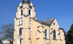
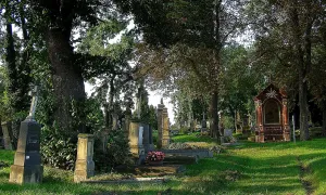
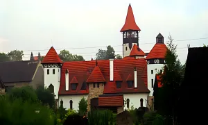
Real photos taken near the monument


Zdroj a licence jsou uvedeny u každého snímku.
Atmosphere of the place
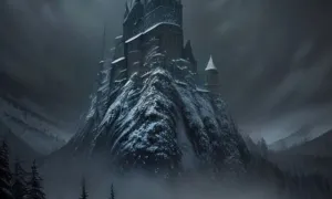
This atmospheric visualisation of the place and period was generated by artificial intelligence. It is not real footage of the location.
Tips from visitors
No tips yet. Be the first!
Log in and add your tip.
Sources and literature
Photos: LaSo / CC BY-SA 4.0 — Wikimedia Commons. The author and licence also appear when you hover over the image.
Faktickým podkladem tohoto textu byl článek na Wikipedii, jehož autory jsou přispěvatelé Wikipedie. Článek je dostupný pod licencí CC BY-SA 4.0.
Location on the map

Příběhy a pověsti
Legendy, pověsti a příběhy spjaté s touto památkou
Fotografie návštěvníků
Zatím žádné fotografie. Buďte první, kdo přidá fotografii z návštěvy!
Log in a přidejte svou fotografii nebo hodnoťte.
Za ověřenou návštěvu v aplikaci získáte víc bodů — poznáme podle GPS, že jste na místě.
Reviews and comments