



Krajinná památková zóna Orlicko Landscape heritage zone
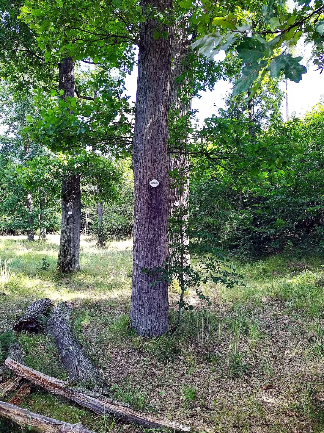
Krajinná památková zóna Orlicko is located on the border of southern and central Bohemia. It includes the municipalities Kožlí, Lety and Orlík nad Vltavou in the district of Písek. This area was declared a landmark zone in 1996. It represents a cultural landscape formed since the 13th century, which combines forest complexes, agricultural land and historical composition with small sacral structures and alleys.
The settlement of the territory began in the 13th century, when a gradual cultivation of the landscape took place. Historical sources show traces of prehistoric settlement, namely the remains of mound graves near Bohou pond. The development of the site was closely linked to the needs of noble families, which used the forest terrain mainly for hunting and hunting.
The architectural form of the landscape is based on baroque and classical compositions, most notably modified in the 19th century. These interventions include planting oak and maple alleys along the roads and on ponds, building a 200-hectare field and the formation of pheasants. Part of the zone are also small sacral objects such as the niche chapel of the Virgin Mary and the chapel of St. John Nepomuk in Orlík nad Vltava, walled by God's torture or chapel with a stone cross in Kožlí.
Over the centuries, important noble families, namely Švambergové and Eggenbergové, have been replaced in possession of the manor. Since 1802, the administration of the territory has moved under the Schwarzenberg family. During their operation there were extensive landscaping in the vicinity of the castle Orlík. In addition to the sacral buildings, a number of historical settlements, such as the gardener's house, a former school or houses bearing the names of the original owners, such as the house of Čapkov, Žáčkov, Jambor or Bauer, are among the monument protected elements in the municipalities.
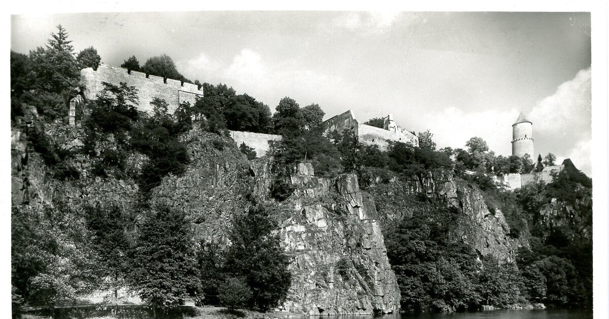
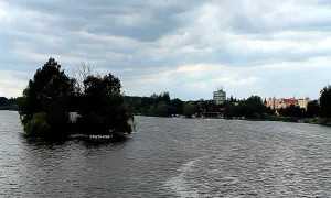
The Krajinná památková zóna Orlicko extends from the northern junction at the municipalities of Kožlí and Kozarovice towards the water tank Orlík, which flooded part of the Vltava valley in the 20th century. The area includes the locality V kopaniny, the old tour of the Old Sedl and the surrounding ponds Sackek and Plzava. The whole area is dominated by Orlík Castle with a garden and a park, which is a national cultural monument.
Today this area is accessible to visitors who want to know historically cultivated landscape with preserved baroque and classicist elements. The preservation of this composition is the main objective of the memorial protection. Thanks to this, the views of the Vltava and Otava rivers and the historic alleys are preserved for future generations. Visiting the zone offers an opportunity to see the way the nobles have shaped their surroundings in the past in accordance with nature.
Historical milestones
- around 1200
- Initiated settlement and landscape cultivation in the area
- 1802
- Transition of land repair under the Schwarzenberg family
- about 1850
- Highly landscaped in Baroque and Classicist style
- 1960
- Zatopene casti udoli in consequence of exposure to water horny Orlik
- 1996
- Exclamated by landscape memory zone
Architectural development
The landscape has been gradually cultivated since the Middle Ages, with the most significant modifications taking place in the 19th century around the castle Orlík. The composition includes baroque and classicist elements such as oak and maple alleys, pheasants and small sacral structures. The territory is supplemented by historical houses and settlements in the municipalities Kožlí and Orlík nad Vltavou.
Historical events
1996: Announcement of landscape monument zone. 19th century: Extensive landscaping, planting and construction.
Owners
Švambergové, Eggenbergové and since 1802 Schwarzenbergové.
Points of interest
- Krajinná památková zóna Orlicko was announced in 1996 and includes the municipalities of Kožlí, Lety and Orlík nad Vltavou. - In the vicinity of Bohou Pond, there are remains of mound graves that show prehistoric settlements. - In the 19th century an area of 200 hectares was built and pheasants were created. - The administration of the area went under the Schwarzenberg family in 1802, who had made extensive modifications around the castle. - Part of the Vltava Valley was flooded in the 20th century by the water tank Orlik.
Guide
Show guide text
This text was created by artificial intelligence and has not been editorially reviewed. It may contain inaccuracies.
Welcome to the place where nature meets deep history and where every mountain, every field and every tree line tells its own story. You are standing in the Orlicko Landscape Monument Zone, in the Kožlí area, and right now you have a unique opportunity to perceive this space not only through the eyes but also through the spirit. Look around you and pay attention to what you see. In front of you is a fascinating mixture of dense forest complexes and open agricultural areas. Notice how the view gradually opens up into the valley where Vltava and Otava wave flows in the distance. This landscape is not just a random set of natural elements, but it is a living image that people have drawn and modified for many centuries. Feel the harmony between the wild animals in the woods and the order of the fields surrounding you.
To understand why this country looks just like this, we need to go back deep into the past together. This whole landscape-forming process that you're looking at today has begun in about a thousand and two hundred years. That was when people began to settle in this area and started to cultivate this wild ground with the first steps. Something's been going on here ever since. The landscape changed with every new generation and every new ruler. A significant turning point was the year of a thousand eight hundred and two when the administration of this territory came into the hands of the mighty Schwarzenberg family. This has fundamentally affected how we see the distribution of roads, forests and villages such as Kožlí, Flying or Orlik over Vltava today.
Now think about what you see in the distance when your view moves to the Orlík Castle. Even if you don't have to look directly at the buildings themselves right now, pay attention to how this whole area is arranged. In the middle of the nineteenth century, around the year a thousand and eight hundred fifty, this landscape reached its highest point. The creators then decided to make everything look absolutely perfect and to use the shapes baroque and classicist. So notice these lines, these deliberately created paths and alleys that lead to important points in the landscape. This architecture concerns not only buildings, but mainly the whole area around them. Feel the long, straight paths and thoughtful views of the valley that have been designed to feel beauty and order. Even the small sacral structures that may be hidden in the trees are part of this magnificent plan.
Looking at this vast landscape, it is impossible to recognize the names of those who formed it. This country witnessed the power and wealth of great generations. In its forests and fields, Švambergové and Eggenbergové moved before the territory became part of the extensive property of Schwarzenberg. Each of these families left an invisible clue in the landscape, how the woods are divided, how the roads are guided and how they are adjacent to the water. They're stories of ownership, hunting, and trying to control and at the same time to shape nature beautifully around them.
Let us now look at one of the greatest changes that this region has experienced in modern times. Imagine the year one thousand nine hundred sixty. At that time there was a fundamental transformation of the valley due to the construction of the water tank Orlík. Parts of the landscape that have been here for hundreds of years have been flooded with water. This event changed the appearance of the Vltava Valley and created a new dimension that you see today. Yet, despite these great changes, the value of this place was recognised, and in the year one thousand nine hundred ninety-six this entire territory was officially declared a landscape monument zone. This means that what you are currently circumventing is a protected heritage to be preserved for future generations.
If you're looking for something that really surprises you and that's not visible at first glance, think about what's underneath the surface of the earth. In the vicinity of Bohou pond, there are remains of mound graves. These ancient graves are a silent proof that people lived here and inhabited this landscape in ancient, prehistoric times, much before the first locks were built here or the great forestry economy was built. It's a fascinating idea that history could be thousands of years old under your footsteps.
Another interesting thing is how big the local industry was in the nineteenth century. It had an area of 200 hectares and was part of that vast hunting landscape that you can perceive right now. These spaces were designed for the noblewoman, for the joy of hunting and for the demonstration of power, but at the same time they created a unique ecosystem, which also affected today's appearance of forests and alleys.
Now I ask you to move on. Let yourself be guided by those paths that have been prepared here for generations before you. Explore the quiet corners of the watercourses, perceive the smell of the forest and watch the light change in the valley. Every step can lead you to a new detail, a new perspective that will reveal another layer of this rich place. Enjoy your journey through this beautiful landscape and let its history and beauty consume you completely. Thank you for choosing to visit this memory. Goodbye.
Tips for visitors
The best time to visit is spring or autumn when the landscape is color-most variable and temperatures are pleasant for long walks between Kožlí and Flying. In summer the area is very busy with tourists heading for the water. Take with you fixed shoes to the field, plenty of water and snacks, because there are no shops at every step in the vast landscape zone. The ideal time for photography is shortly after sunrise or before sunset, when soft light beautifully depicts the wavy terrain and surface of ponds Sacky and Plzava. In the area within 30 minutes of the journey you can visit the castle Orlík, enjoy views of the water tank Orlík or explore the surroundings of the ponds, which is an ideal activity for families with children who appreciate the movement of nature and watching water birds.
Frequently asked questions
Can the monument be visited?
This is a structure in a public space that can usually be seen from outside free of charge. We have not verified that this particular one is freely accessible.
Where is the monument?
Location: Kožlí. The map on this page shows the exact spot.
Why is the monument protected?
It is listed in the Central List of Cultural Monuments of the Czech Republic as a cultural monument (register no. 1000084335).
Businesses nearby
Do you run a restaurant, accommodation, shop, museum, rental, wellness or other visitor service near this monument? Show yourself directly to the people heading to it — this is how they will see you in the app and on the web:
Events nearby
Zdroj akcí: otevřená data měst a obcí ČR (Národní katalog otevřených dat) a kalendář akcí Národního památkového ústavu.
Nearby
Zámek Orlík, vodní nádrž Orlík, obec Kožlí, obec Lety, rybník Sáček, rybník Plzava.
Accommodation nearby
Themed route
Thematic trip route Orlicko
1.Krajinná památková zóna Orlicko - Type: Landscape - Why is it worth a visit: This area offers a view of the unique landscape beauty, which is the result of the historic planting of ponds and forests. It's an ideal place to relax in nature's society.
2. Castle Eagle - Type: Historical construction - Why it is worth a visit: The castle is an important architectural monument that shows the rich history of the region. Its beautiful gardens and parks are ideal for a picnic or walk.
3. Water Tank Eagle - Type: Water monument - Why is worth a visit: The tank is not only an important energy infrastructure but also provides opportunities for recreational activities such as swimming and fishing. It's a beautiful place to relax on the shores.
4. Municipality of Kožlí - Type: Urban location - Why it is worth a visit: This village offers a view of traditional Czech rural architecture and is famous for its peaceful environment. It's the perfect place to rest after a trip.
5. Pond Sack - Type: Pond - Why is it worth visiting: This pond is part of the regional fishing system and offers quiet corners for relaxation. It's also a place where you can observe wildlife.
This route will guide you through the beautiful region of Orlicko with its historical and natural monuments.
Seasonal recommendations
Spring: In the spring season Krajinná památková zóna Orlicko offers visitors unforgettable views of flowering shrubs and trees that are decorated with vivid colors. Sun rays penetrate the foggy green, giving the landscape magical lighting. Nature comes to life and visitors can enjoy peaceful walks without too many crowds. It is recommended to visit on Tuesday or Wednesday when the site is usually less visited. A good suit should be a combination of warm and dry, because the weather can change quickly.
Summer: In the summer period Krajinná památková zóna Orlicko is full of life. Discover this beauty at dawn when the temperature is more pleasant and the crowds are less. Sun rays illuminate every mysterious cornea, giving the landscape a beautiful shiny look. In the summer months it is advisable to wear light and light clothes, but do not forget the protective sunglasses and UV cream. Hydration is crucial, so make sure you have enough drinking water.
Autumn: Autumn offers Landscape Monument Zone Orlicko Melancholic and Color View. Tree leaves turn into hot colors, giving the landscape a unique atmosphere. The sunny morning brings warm light, which amplifies the beauty of fallen leaves and the anxiously besieged trees. Autumn is ideal for visiting on Sundays or nights when crowds are decreasing. Dress up warm but still comfortable material and do not overlook the moisture protection.
Winter: During winter Krajinná památková zóna Orlicko is covered with snow, which adds a fantastic atmosphere to the region. Sun rays reflect on ice and snow, creating breathtaking light effects. Visit it on the day when the sun is higher above the horizon to make full use of its heat and lighting. The opening may vary during the winter, so try the previous information. The important thing is to wear warm clothes with multiple layers and protective shoes to safely walk through snow covered trails.
Visualizations and artistic views

The visualisations are generated by artificial intelligence and serve as inspiration.
Photos from the area
Real photos taken near the monument


Zdroj a licence jsou uvedeny u každého snímku.
Tips from visitors
No tips yet. Be the first!
Log in and add your tip.
Sources and literature
Photos: Jrnka ka / CC0 — Wikimedia Commons. The author and licence also appear when you hover over the image.
Faktickým podkladem tohoto textu byl článek na Wikipedii, jehož autory jsou přispěvatelé Wikipedie. Článek je dostupný pod licencí CC BY-SA 4.0.
Location on the map


Příběhy a pověsti
Legendy, pověsti a příběhy spjaté s touto památkou

Fotografie návštěvníků
Zatím žádné fotografie. Buďte první, kdo přidá fotografii z návštěvy!
Log in a přidejte svou fotografii nebo hodnoťte.
Za ověřenou návštěvu v aplikaci získáte víc bodů — poznáme podle GPS, že jste na místě.
Reviews and comments