





neolitický sídelní areál Bylany Hillfort
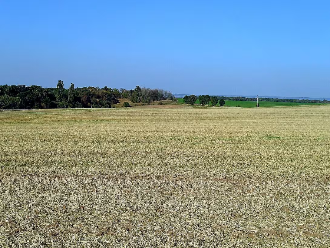
The Neolithic settlement area of Bylany is an important archaeological site near the village of Bylany near Český Brod in Kolín district. It represents one of the most important sites of Czech prehistory and the largest exposed area of the Neolithic settlement in the Czech Republic.
The valley of the river Bylanka was inhabited already in the 6th millennium B.C. The first stable agricultural society was created here by the carriers of culture with linear ceramics. They arrived in the area around 5600 B.C. along the Elbe and then penetrated upstream of Vrchlice and Bylanka. They probably settled here around 5500 B.C. After a period of decline in the quality of the dwelling and temporary abandonment of the place, the population of the younger culture with poked pottery later settled there.
Archaeological research on an area of about 7 hectares revealed the remains of a large settlement. Among the most important findings are 134 floor plans of long post houses made of wooden skins and clay. In addition to the dwellings, hundreds of other objects, such as furnaces, storage, construction or waste pits were discovered. A large circular body is also an important element of the complex, which probably served as a gathering place or cult place.
The main large-scale survey took place between 1955- 1964 and 1966- 1967 under the leadership of Bohumil Soudský. In 1957, the Archaeological Institute of the Academy of Sciences of the Czech Republic was established here, which is still in the premises. As part of later activities, for example in 2004, rescue research was carried out in connection with the planned construction of family houses.
Neolithic farmers have lived here for dozens of generations. They made tools of wood, stone and bone and burned ceramic containers. They grew wheat, barley, lentils, peas and millet and raised sheep, goats, cattle and pigs. Research in Bylany has enabled the compilation of relative chronology of culture with linear ceramics and, thanks to the analysis of raw materials, follow the then commercial contacts. The interesting thing is that Bohumil Soudský was a model for the figure of an archaeologist in the detective stories of Václav Erben and part of the film The Treasure of a Byzantine buyer was filmed right here in this workplace.
Today, the site is accessible to tourists through the Silver Way - the Southern Circuit and the Cycloturistic Learning Trail around Kutná Hora. Information boards and posters of the Archaeological Institute with texts and photographs of the findings are located in and around the premises.
The herbs represent key evidence of the existence of the first stable agricultural communities in this area. The site offers everyone interested in ancient history a deep view of the roots of European civilization and is worth a visit.
Then and now
Drag the slider to compare how the landmark may have looked when it was built with the view today.
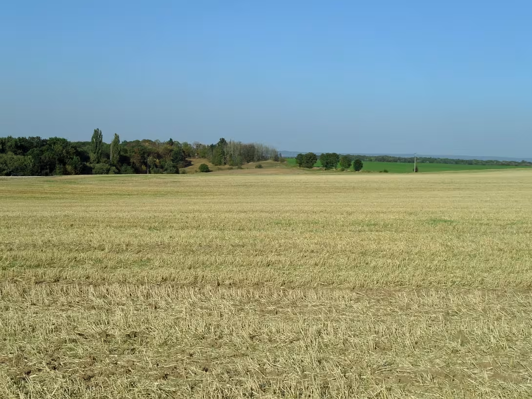
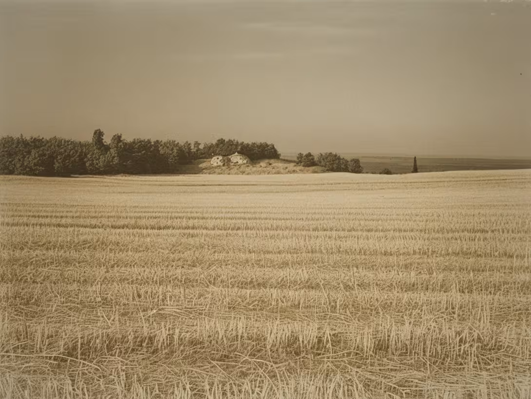
The historical appearance on the left is an AI-generated visualisation and serves as inspiration only.
Historical milestones
- 1955
- The beginning of a major archaeological survey.
- 1964
- Completion of the first stage of the large scale survey.
- 2004
- Implementation of rescue archaeological research.
Architectural development
The settlement consisted of long shed houses built from stakes and dirt. There were also various furnaces, a stock of waste pit. A major element was also a large circular body, probably serving as a cult place or gathering place.
Historical events
In the years 1955- 1964 and 1966- 1967, the main large-scale archaeological survey led by Bohumil Soudský took place. In 2004, rescue archaeological research was carried out in connection with the planned construction of family houses.
Points of interest
- It is the largest exposed area of the Neolithic estate in the Czech Republic. - Research revealed 134 floor plans of long shed houses made of wooden skins and dirt. - There is a large circular formation in the area, which probably served as a gathering place or cult place. - Bohumil Soudský was a model for the character of archaeologist in the detective stories of Václav Erben. - Part of the film The Treasure of the Byzantine buyer was filmed right here in this workplace.
Guide
Show guide text
This text was created by artificial intelligence and has not been editorially reviewed. It may contain inaccuracies.
Welcome! You are standing in front of just one of the most important archaeological sites in our country - the neolithic settlement area of Bylana. You have a vast area ahead of you where your distant ancestors could have lived thousands of years ago. If you notice, this whole area is covered with greenery, but beneath it is the remains of ancient houses and living space.
Let's go into history. This residential area was discovered in 1955 when the first large-scale archaeological survey began. In the subsequent decades, until 1964, thousands of elements of the ancient settlement were discovered. And while the research activity was later stopped similarly, the new rescue archaeological research carried out in 2004 gave us even more knowledge of the living conditions of our neolithic ancestors.
Look up and look around. Note that this site has a unique structure of long shed houses, whose ground features have been preserved in the country. This type of construction is characteristic of the period of culture with linear ceramics and cultures with poked ceramics. Notice also the large circular body that is here. It could be a place where people came together - perhaps for assembly or even as a place of ritual.
Bohumil Soudský plays a key role in the history of this site. His work and interest in this complex were invaluable for understanding the lifestyle of our old ancestors. Thanks to his efforts, many learned more about the first agricultural communities in the Czech Republic.
Now notice one interesting thing: Bylans are the largest exposed area of the neolithic estate in our country. There have been unveiled hundreds of plans for long post houses, giving us a unique view of the life and organization of these communities.
Let's keep looking. This area offers many possibilities for further exploration. If you're interested in how our ancestors lived, worked and shared their living space, it's a great place for deeper knowledge.
Thank you for your visit. We hope that this guide inspired you to further discover and gain new knowledge of our common past. If you come back, we'll be glad if you look even closer at these secrets of ancient settlers. Let the passion for history and archaeology take you with it!
Tips for visitors
For the best experience we recommend a visit in spring or summer months when the surrounding landscape is the most lively. The best time to observe detail in the field is in the morning, when the light is clear enough for a detailed view of archaeological footprints.
The location can be reached by car and public transport; please check the current traffic connections and parking options in the traffic search engine. The place is located near the village of Bylany.
Take with you comfortable shoes suitable for outdoor movement and possibly sun or insect protection.
For photography are the best places with a view of the site itself, especially in low sunlight, which beautifully highlights the structure of the site.
Within 30 minutes, you can explore the surroundings of the village of Bylany, the flow of Bylanka or the dam of the Great Pond, or visit the centre of Kutna Hora. For families with children it is advisable to prepare educational games focused on prehistory to make a visit for the smallest interesting.
Businesses nearby
Nearby
The location is located near the village of Bylany, near the flow of Bylanka and the dam of the Great Pond, about 2.5 km from the centre of Kutná Hora.
Accommodation nearby
Trips and activities nearby
Guided tours, tickets and activities nearby from GetYourGuide
Affiliate link: if you buy from the partner, we may receive a commission. The price for you does not change.
Search tours and activities →Themed route
1. Kutná Hora Center - City Centre. The starting point of the journey is approximately 2.5 kilometres from the main destination. 2. The village of Bylany - the village. A place that forms the immediate vicinity of an archaeological site. 3. Neolithic residential area of Bylana - Archaeological site. The main destination of the trip focused on the study of prehistoric settlement. 4. Tok Bylanka - Water flow. A natural element of the landscape that flows near the residential area. 5. Great pond dam - Water construction. A place for a view and a quiet ending of thematic walks.
Seasonal recommendations
In the spring, the archeological lands of Bylana awaken to life under fresh green paint. The fine sunlight beautifully highlights the shape of the terrain and reconstruction of the dwelling, which creates a calm and hopeful mood. We recommend to wear waterproof shoes because the soil may still be wet. There are fewer visitors in this period, so you can enjoy quiet and focused view of history without rush.
Summer months bring intense sunlight and high temperatures to the area, which are accompanied by dense vegetation. Due to the longest days, this is an ideal time for long walks, but we recommend you come right after opening to avoid the biggest crowds and heat. Don't forget the headgear, enough drinking water and light, breathable clothes, because in an open space the heat can be very strong.
The autumn visit offers a nostalgic atmosphere, where the morning mist partly obscures historical structures and the golden colors of the surrounding landscape provide a magical touch. Light is low and soft in this period, which is excellent for taking pictures. For comfort it is necessary to choose layered clothes because the morning cold and wind currents can be unpleasant. It is the perfect time for those who seek peace and deeper perception of history in the silence of nature.
In winter, the area is sober when the bare landscape and any snow cover reveal the very essence of the place without disturbing green. The atmosphere is quiet and lonely, which allows deep reflection. Due to short days and low temperatures it is necessary to come in during the morning and wear a very warm and wind-resistant garment layer. It must be assumed that daylight is very limited at this time.
Visualizations and artistic views


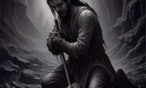
The visualisations are generated by artificial intelligence and serve as inspiration.
Photos from the area
Real photos taken near the monument


Zdroj a licence jsou uvedeny u každého snímku.
Tips from visitors
No tips yet. Be the first!
Log in and add your tip.
Sources and literature
Fotografie: Stribrohorak / CC BY-SA 3.0 — Wikimedia Commons. The author and licence also appear when you hover over the image.
Faktickým podkladem tohoto textu byl článek na Wikipedii, jehož autory jsou přispěvatelé Wikipedie. Článek je dostupný pod licencí CC BY-SA 4.0.
Location on the map
Příběhy a pověsti
Legendy, pověsti a příběhy spjaté s touto památkou
Fotografie návštěvníků
Zatím žádné fotografie. Buďte první, kdo přidá fotografii z návštěvy!
Přihlaste se a přidejte svou fotografii nebo hodnoťte.
Za ověřenou návštěvu v aplikaci získáte víc bodů — poznáme podle GPS, že jste na místě.
Reviews and comments