



Slavětínská Street
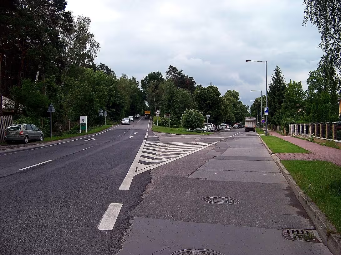
Slavětínská is one of the main roads of the Prague district of Klánovice. It is heading north of the railway stop Praha-Klánovice to the border of the cadastral territory where the space is connected with adjacent Šestajovice. The street passes a 1.8 kilometer long space with a significant influence on local transport, which is now served by four public transport stops. All major traffic flows from the northern edge of Klánovice are passing through it, and at the same time it connects the railway network with the rest of the district.
The history of the street name reflects the stormy period of the second half of the twentieth century. During World War II, the street changed its designation according to the situation and occupation regulations. Until 1942 it was divided into two separate segments: the southern part of Hedviky Vilgus' square carried the Germanic name Volksstraße, in Czech again named on the National Class, while the northern part was called Husstraße, Czech Husova class. From 1942 until the end of the war in 1945 the situation was standardized and the whole street received uniform name Victoriastraße, Czech Class Victoria. After the war, which ended with the culmination of the Nazi regime, the street received the new title Main, which was subject to its role as the main communication of Klánovice, where it worked until 1974. Only then did it become its present form - the name Slavětínská.
Today's name refers to the extinct village of Nightingale, which once stood west of Klánovice deep in the Klanovice Forest. However, this is an incorrect transcription of the original name; The proper title should be Slavetical. Yet this name remains and reminds of the history of the landscape that today's street overlaps.
The location of the street determines its importance in the local transport network. At the southern end it begins at the said railway stop and gradually continues north through the five crossroads through which it passes. A total of 24 side streets enter the street, making it an important hub in the network of communications. At the north end of the street you reach the border of the cadastral territory of Klánovice and also the border of Prague; here it crosses with the Šestajovice streets of Holekov and Trojmejnejk, in the direct direction continuing the Šestajovická street of the Revolutionary which connects the territory further north.
Along the street there are several interesting landmarks. From the south to the north, you first meet the already mentioned railway station, which serves as the entrance gate to the district. You continue through the Alej Hany Benešová and follow the important square of Hedvika Vilgus, which represents one of the social centers of Klánovice. At the north part of the street you can see the river Šestajovická, which originates here near the intersection with the streets of Riegrova and nad Sástajovický creek, thus reminiscent of the natural water of the landscape that once determined the boundaries and flows in this territory.
Slavětínská street is therefore more than just traffic communication - it is a living cross-section of the history of the neighborhood, from the time of Nazi occupation through normalization to the present day. For the visitor Klánovice, it is an opportunity to see how the city is spread out and how the streets connect it, while looking at names such as Alej Hany Benes or Hedvika Vilgus Square, one realizes how personalities and past times are reflected in the topography of urban communications.
Historical milestones
- 1942
- Split the street into two parts with German names.
- 1942
- Change of street name to Victoria Class.
- 1945
- Restoring Czech names after the end of the war and naming as Main.
- 1974
- Change the name to current Slavětínská.
Historical events
By 1942, the street was divided into two parts according to direction of orientation. Between 1942 and 1945, the entire street was called the Victoria Class. From the end of the war until 1974, this communication was called Main.
Points of interest
- The streets have changed names over the years, such as Victoria or Main. - Today's name refers to the extinct village of Nightingale, which is a mistranscription of the name of Nightingale. - The street is a mile long and the mouth of 24 side streets. - Near the crossroads with the streets of Riegrova and Nad Shastajovický stream is the origin of Šestajovický brook.
Guide
This guide is narrated by a synthetic voice generated by artificial intelligence.
Show guide text
This text was created by artificial intelligence and has not been editorially reviewed. It may contain inaccuracies.
Slavětínská is the main street of the Prague district of Klánnovice. It runs in a north-south direction and measures approximately 1.8 kilometres.
At the southern end it begins at the railway station Praha-Klánovice. From there, Zájezdská street branches off, which crosses over the railway line via a bridge and continues into the neighbouring district of Újezd nad Lesy. Slavětínská then heads north past Aleje Hany Benešové and across Náměstí Hedviky Vilgusové. It ends at the boundary of the Klánnovice cadastre, which is also the boundary of Prague. There it intersects with the Šestajovice streets Holekovou and Trojmezní. In the direct continuation runs the Šestajovice street Revoluční.
Along its route the street passes through five intersections and a total of 24 side streets lead into it. There are four public transport stops on it. In the northern part, not far from the intersection with Riegrova street, the Šestajovický stream originates.
The street changed its name several times during the twentieth century. During the Second World War it was divided into two sections until 1942. The southern section from Náměstí Hedviky Vilgusové was called Volksstraße, or Národní třída in Czech. The northern section bore the name Husstraße, or Husova třída in Czech. From 1942 to 1945 the entire street was called Viktoriastraße, or Třída Viktoria. After the war it received the simple name Hlavní, which reflected its importance for Klánnovice. It kept this name until 1974.
The current name refers to the disappeared village of Slavětice. It stood west of Klánnovice in Klánovický les. However, the name of the street arose from an incorrect transcription. It should correctly be called Slavětická.
Tips for visitors
The best time to visit is spring or autumn, when temperatures are pleasant for walking and surrounding nature in the greatest beauty.
We recommend to take with us especially comfortable shoes suitable for longer walks, which will ensure comfort throughout the whole length of the route.
For the best photos we recommend using the morning or late afternoon light that best excels in the landscape between the village and the forest.
For families with children it is ideal to join a walk along the street with a trip to Klánovický Forest.
Frequently asked questions
Can the monument be visited?
This is a structure in a public space that can usually be seen from outside free of charge. We have not verified that this particular one is freely accessible.
Where is the monument?
Location: Praha, Hlavní město Praha. The map on this page shows the exact spot.
For kids
Imagine going back to when Praha was a small town. And just where Slavětínská is today, in the cadastral area of Klánovice, there was a massive castle.
It was like a game where a hero goes through secrets and discovers hidden treasures. Who lived here? They were kings, knights and outsiders who came to town with the intention of doing business or settling down.
Businesses nearby
Do you run a restaurant, accommodation, shop, museum, rental, wellness or other visitor service near this monument? Show yourself directly to the people heading to it — this is how they will see you in the app and on the web:
Events nearby
Zdroj akcí: otevřená data měst a obcí ČR (Národní katalog otevřených dat) a kalendář akcí Národního památkového ústavu.
Nearby
Železniční zastávka Praha-Klánovice, Klánovický les, Šestajovice.
Accommodation nearby
Trips and activities nearby
Guided tours, tickets and activities nearby from GetYourGuide
Affiliate link: if you buy from the partner, we may receive a commission. The price for you does not change.
Search tours and activities →Themed route
1. Railway stop Praha-Klánovice, type: transport node. Practical starting point for the start of the journey available by train. 2. Klánovický forest, type: natural area. A place for relaxation and nature walks. 3. Slavětínská, type: others. The main destination of the trip and the monument with local significance. 4. Šestajovice, type: village. A quiet village suitable for ending the entire circuit.
Seasonal recommendations
In the spring the surroundings of the monument awaken to life and the young green gives the place a fresh look. Soft spring light is ideal for observing facade details. We recommend wearing more layers of clothing because the weather is variable. A visit in the morning will allow you to avoid the largest groups of people.
The summer season brings sharp sun and intense colors that highlight historical architecture. The atmosphere is full of energy, but accompanied by heat. Don't let the crowd push you in the season, come first thing in the morning. Don't forget light, breathable clothes and plenty of fluids to go.
Autumn is a time of golden leaves and hazy mornings that give the memory a mysterious and peaceful touch. The evening light creates deep shadows and dramatic moods. Moisturised footwear is suitable. There are fewer visitors in this period, which allows you to explore space in peace.
In the winter, it is a place of chipping and freezing, while snow can cover the details, but increase the feeling of cuddling. The sky is usually grey, which gives space a melancholy character. It is necessary to wear warm clothing and observe the shortened opening time. Ideal is a visit in the Advent time, when the surroundings glow lights.
Visualizations and artistic views


The visualisations are generated by artificial intelligence and serve as inspiration.
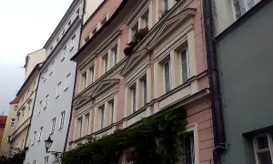
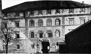
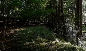
Photos from the area
Real photos taken near the monument


Zdroj a licence jsou uvedeny u každého snímku.
Atmosphere of the place
This atmospheric visualisation of the place and period was generated by artificial intelligence. It is not real footage of the location.
Tips from visitors
No tips yet. Be the first!
Log in and add your tip.
Sources and literature
Photos: ŠJů (cs:ŠJů) / CC BY-SA 3.0 — Wikimedia Commons. The author and licence also appear when you hover over the image.
Faktickým podkladem tohoto textu byl článek na Wikipedii, jehož autory jsou přispěvatelé Wikipedie. Článek je dostupný pod licencí CC BY-SA 4.0.
Location on the map
Příběhy a pověsti
Legendy, pověsti a příběhy spjaté s touto památkou
Fotografie návštěvníků
Zatím žádné fotografie. Buďte první, kdo přidá fotografii z návštěvy!
Log in a přidejte svou fotografii nebo hodnoťte.
Za ověřenou návštěvu v aplikaci získáte víc bodů — poznáme podle GPS, že jste na místě.
Reviews and comments