






Dehtárská Other
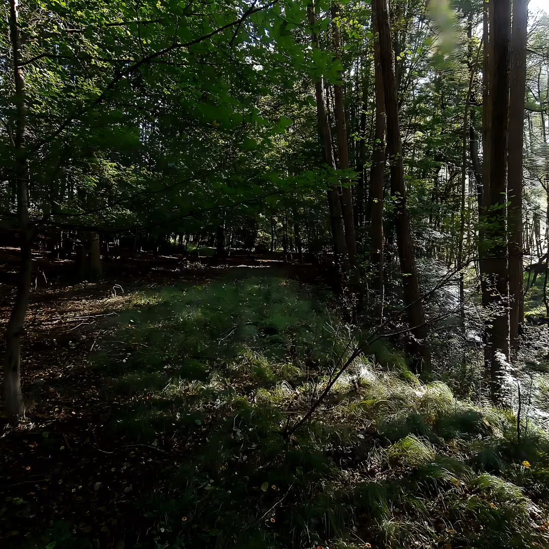
Objekt se nedochoval — na místě dnes nestojí. Následující text popisuje jeho historii, ne současnou návštěvu.
Dehtárská is a non-existent street in Hloubětín, Prague 14, symbolizing urban planning ambitions and changes in Prague during the 20th century. Initially projected in 1933 as part of New Hloubětín, it was never constructed despite being depicted on maps until the 1960s. The planned route ran from Kbelská Street with a dead-end, heading west-northeast and slightly southward, parallel to Zelenečská Street. It was intended as an extension of Kolbenova Street towards the east. This street remains notable for its historical curiosity, reflecting urban planning efforts that never came to fruition.
The origin of Dehtárská dates back to 1933 when it was projected in New Hloubětín. The street's name is derived from the village of Dehtáry in the Prague-East district, which became part of Jenštejn in 1960. During the Protectorate period, the western section was named Dechtarer Straße according to Rudolf Jiřík's Orientation Plan for Prague in 1942. This reflects a time when Czechoslovakia experienced significant political and social changes, including the impact of World War II and the subsequent establishment of a communist regime.
Dehtárská does not have an architectural or artistic form as it was never constructed. The street remains a historical concept rather than a physical entity. Its planned route and intended purpose are documented through maps from the era, but no tangible elements exist today.
Ownership and administration details for Dehtárská are minimal since it was never built. The street's planning involved urban development authorities of Prague during the 20th century, reflecting broader municipal ambitions rather than individual ownership or dramatic changes in fortune.
Key events related to Dehtárská include its projection in 1933 and its depiction on maps until the 1960s. Despite these plans, the street never materialized, making it a historical curiosity. Its naming after the village of Dehtáry adds an interesting layer to its story, linking urban planning with regional geography.
Today, Dehtárská exists only as a concept in historical records and maps. It is not accessible as a physical location but remains significant for those interested in the history of Prague's urban development. The street serves as a reminder of ambitious plans that were never realized, offering insights into the city's planning history during a tumultuous period.
Dehtárská stands as a testament to the evolving nature of urban planning and the impact of historical events on city development. Its story invites visitors to explore the rich tapestry of Prague's past, encouraging reflection on how cities grow and change over time.
Then and now
Drag the slider to compare how the landmark may have looked when it was built with the view today.
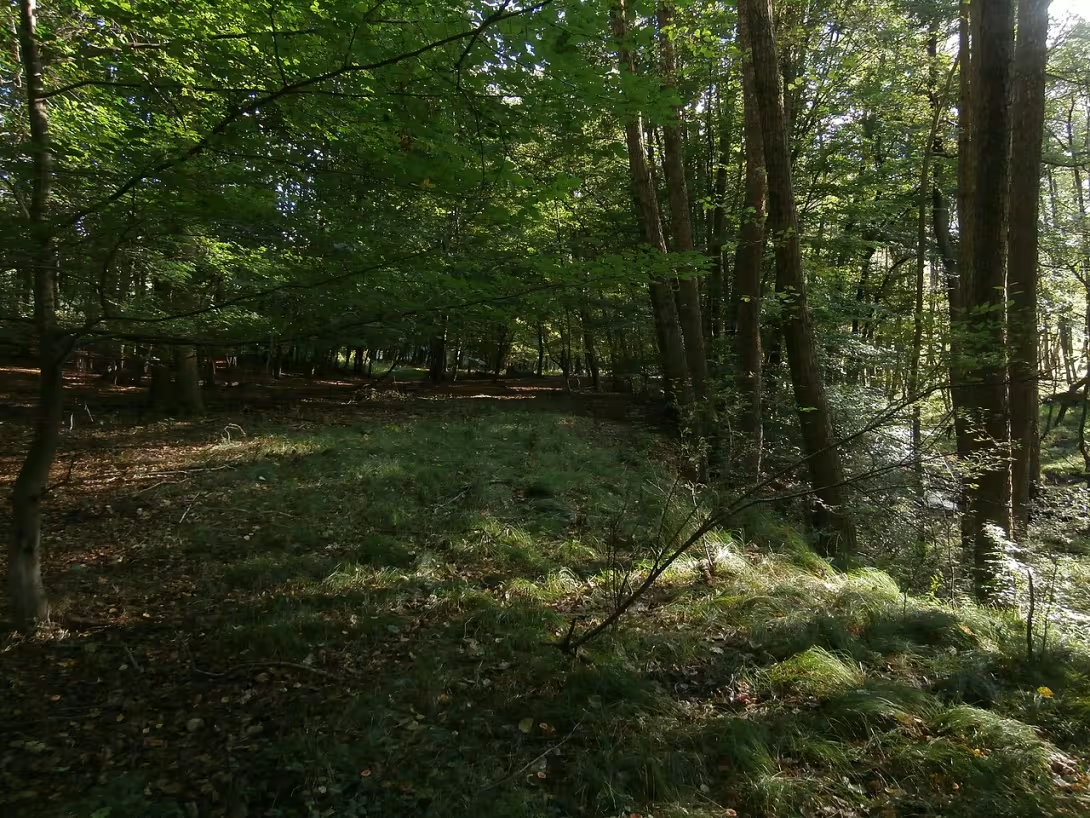
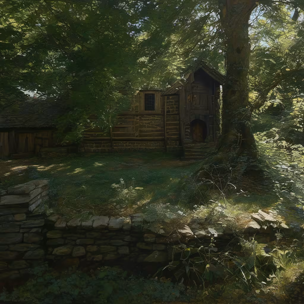
The historical appearance on the left is an AI-generated visualisation and serves as inspiration only.
Historical milestones
- 1933
- Dehtárská projected as part of New Hloubětín.
- 1942
- Named Dechtarer Straße in Rudolf Jiřík's Orientation Plan for Prague.
- 1960
- Village of Dehtáry became part of Jenštejn; street depicted on maps until this time.
Historical events
1933: Dehtárská was projected in New Hloubětín.
1942: During the Protectorate, the western section was named Dechtarer Straße according to Rudolf Jiřík's Orientation Plan for Prague.
Guide
This guide is narrated by a synthetic voice generated by artificial intelligence.
Show guide text
This text was created by artificial intelligence and has not been editorially reviewed. It may contain inaccuracies.
Welcome to Dehtárská, a street that exists only in the imagination and on historical maps of Prague 14's Hloubětín district. As you stand here, surrounded by the bustling life of modern Prague, try to envision the street that was planned but never realized—a ghostly imprint of urban ambition from the past.
The story of Dehtárská begins in 1933 as part of an ambitious project known as New Hloubětín. This period marked a time when Prague was undergoing significant transformations, with planners dreaming up new neighborhoods and streets to accommodate its growing population. Despite being meticulously depicted on maps until the 1960s, Dehtárská remained unbuilt—a testament to shifting political landscapes and changing urban priorities throughout the 20th century.
As you look around, imagine the street's intended route: starting from Kbelská Street with a dead-end, stretching west-northeast and slightly southward. It would have run parallel to Ze—yet another reminder of plans that never came to fruition. The absence of physical structures here invites us to reflect on what could have been—a silent narrative etched in the urban fabric.
While there are no specific architectural details to observe today, given Dehtárská's non-existence, its story is rich with historical context. Named after the village of Dehtáry, which became part of Jenštejn in 1960, the street's name itself carries echoes of regional ties and local heritage.
One intriguing aspect of Dehtárská is how it symbolizes the fluid nature of urban planning. Despite being a conceptual entity, its presence on maps for decades highlights the ever-evolving dreams of city planners and the complex interplay between ambition and reality in shaping our cities.
As you continue your journey through Prague, let the story of Dehtárská inspire you to look beyond what is immediately visible. Explore the layers of history that lie beneath modern streets and buildings, and consider how past visions and plans shape the city we know today.
Thank you for joining this exploration of a street that never was but will always be a part of Prague's rich historical tapestry. May your curiosity lead you to discover more hidden stories as you wander through this remarkable city. Safe travels!
Businesses nearby
Do you run a restaurant, accommodation, shop, museum, rental, wellness or other visitor service near this monument? Show yourself directly to the people heading to it — this is how they will see you in the app and on the web:
Visualizations and artistic views


The visualisations are generated by artificial intelligence and serve as inspiration.
Tips from visitors
No tips yet. Be the first!
Log in and add your tip.
Příběhy a pověsti
Legendy, pověsti a příběhy spjaté s touto památkou

Fotografie návštěvníků
Zatím žádné fotografie. Buďte první, kdo přidá fotografii z návštěvy!
Log in a přidejte svou fotografii nebo hodnoťte.
Za ověřenou návštěvu v aplikaci získáte víc bodů — poznáme podle GPS, že jste na místě.
Reviews and comments